Near Mountains-to-Sea Trail: Hwy 215 to Black Balsam Knob
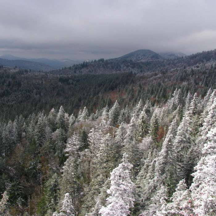
Snow-covered and wind-blown
Near Mountains-to-Sea Trail: Hwy 215 to Black Balsam Knob
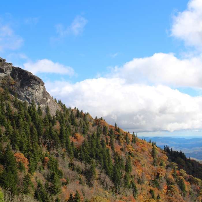
Devils Courthouse
Near Mountains-to-Sea Trail: Hwy 215 to Black Balsam Knob
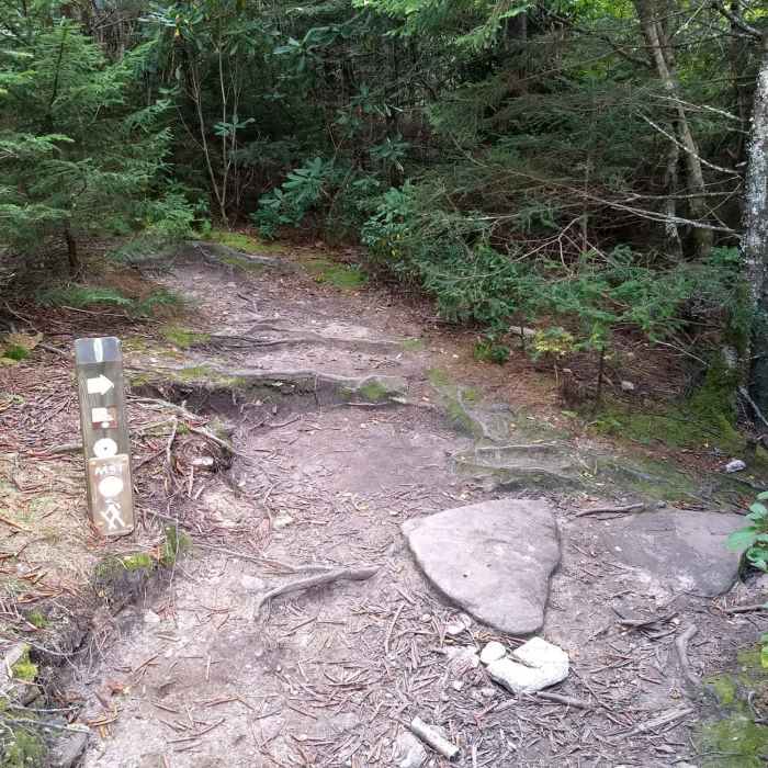
This is an unmarked connector trail from the Mountain to the Sea Trail (MST) to Devil's Courthouse. It is an easy, well worn trail.
Near Mountains-to-Sea Trail: Hwy 215 to Black Balsam Knob
Stay right when headed down from the Devil's Courthouse summit to take the unmarked connector back to the MST.
Near Mountains-to-Sea Trail: Hwy 215 to Black Balsam Knob
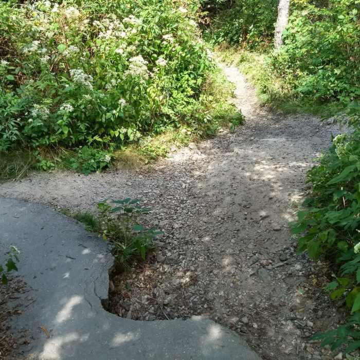
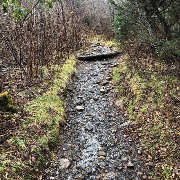
Trail after the initial paved portion ends.

Looking for more photos?

View All Photos
View Map
Driving Directions
Hike Trail

Mountains-to-Sea Trail: Hwy 215 to Black Balsam Knob

3.8 (4 Ratings)
A short section of the Mountains-to-Sea Trail in North Carolina.
4.1
mi
Distance
1,004
ft
Gain
strenuous
Difficulty
River/CreekViews

Route Details

Flatter
Steeper
4.09mi
Distance
1,004ft
Elevation Gain
246ft
Elevation Loss
30%
Max Grade
5,965ft
High Point
5,127ft
Low Point
Path Type
Point to Point
Description
This segment of the MST climbs steadily from Rt. 215 before leveling out and contouring above the Blue Ridge Parkway. The trail then climbs further to a junction with Black Balsam Knob Rd. The Mountains-to-Sea Trail will eventually provide a foot trail across the entire state of North Carolina. Its western terminus is at one of the highest points in the state, Clingmans Dome, on the North Carolina/Tennessee state line in Great Smoky Mountains National Park. Its eastern end is in Jockeys Ridge State Park, near the Atlantic Ocean. It will eventually cover at least 935 miles and, as of the spring of 2008, over 400 miles of off-road footpaths were available. (The completion date for the entire trail cannot be estimated due to the need to negotiate with private landowners.) The trail will be a travel way with various sections open to hiking, mountain biking, horseback riding, and even canoeing/kayaking on a parallel paddling path. However, the entire portion of the trail within the Pisgah District is restricted to foot traffic only.

Route Conditions

Report Conditions
Anonymous Adventurer
All Clear
Anonymous Adventurer
All Clear
Anonymous Adventurer
All Clear
Anonymous Adventurer
All Clear
Looking for more condition reports?
View History

Nearby Hike Routes

Devil's Courthouse

Hike Route

Devil's Courthouse

Views
easy
0.85 mi
+288 ft
Sam Knob Loop

Hike Route

Sam Knob Loop

River/Creek
moderate
9.47 mi
+1,548 ft
Black Balsam Loop via Art Loeb Trail

Hike Route

Black Balsam Loop via Art Loeb Trail

Views
moderate
8.94 mi
+1,128 ft
Bearpen Gap Waterfall

Hike Route

Bearpen Gap Waterfall

River/Creek
moderate
3.16 mi
+653 ft
Graveyard Fields

Hike Route

Graveyard Fields

Views
easy
2.97 mi
+396 ft
Double Spring Gap Climb

Hike Route

Double Spring Gap Climb

Fall Colors
moderate
10.54 mi
+2,460 ft
Contributors
James Spitzer
