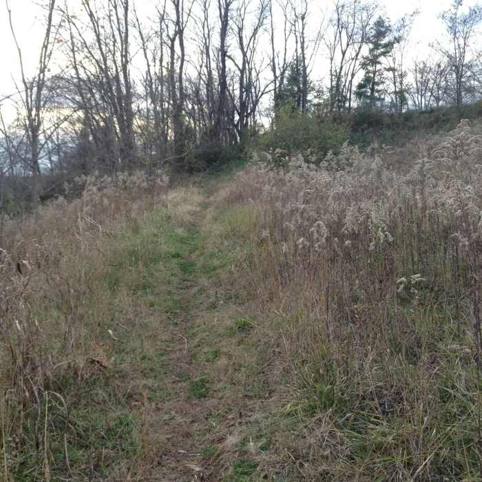
Near Glendale Trail
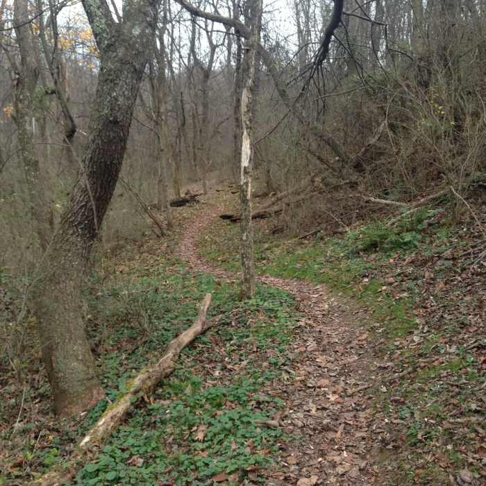
Twists and turns keep you on your toes on the Ray Lang Trail.
Near Glendale Trail
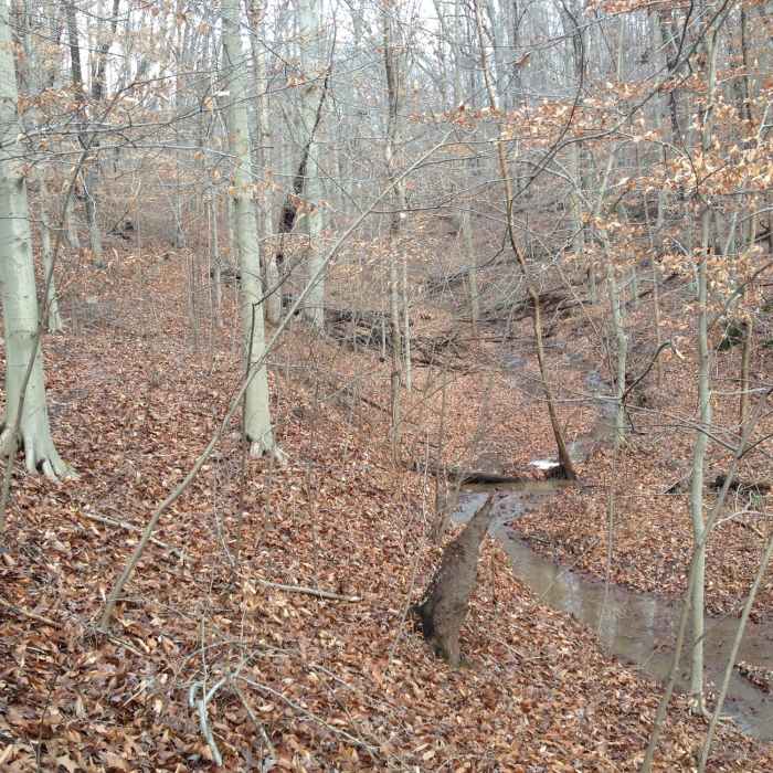
The Chimney Trail following the stream back up and out of the valley.
Near Glendale Trail
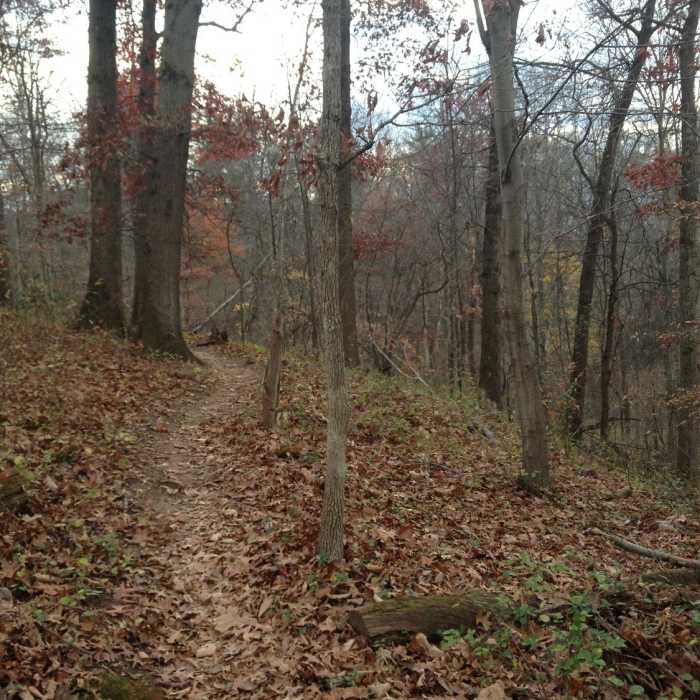
Heading up to the trail's end on Glendale Road.
Near Glendale Trail
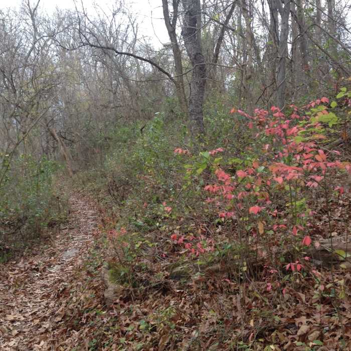
Fall colors are a highlight of this trail.
Near Glendale Trail
A grassy area at the top of the hillside of Glendale Trail before descending.

Looking for more photos?

View All Photos
View Map
Driving Directions
Hike Trail

Glendale Trail

3.5 (2 Ratings)
A fun trail with an overlook of Marietta when taking the short Lookout Loop.
0.5
mi
Distance
81
ft
Gain
moderate
Difficulty
Views

Route Details

Flatter
Steeper
0.51mi
Distance
81ft
Elevation Gain
129ft
Elevation Loss
25%
Max Grade
799ft
High Point
668ft
Low Point
Path Type
Point to Point
Description
The Glendale Trail is in the Kris Mar Woods, starting off the North Hills Trail Western Section and winds down the hillside to Glendale Road near its intersection with Hadley Lane. At the mid-way point, near the top of the hill, the Lookout Loop Trail splits off to the right and the Glendale Trail bears to the left. The Lookout Loop is a very short spur and features a view of downtown Marietta.

Route Conditions

Report Conditions
No Condition Reports
Report Conditions

Nearby Hike Routes

Green-Red-Blue Trail Loop

Hike Route

Green-Red-Blue Trail Loop

Birding
moderate
2.87 mi
+345 ft
Greenwood/Scenic River Trail Classic

Hike Route

Greenwood/Scenic River Trail Classic

moderate
11.63 mi
+1,418 ft
Lodge to Lake and Back

Hike Route

Lodge to Lake and Back

Lake
moderate
6.76 mi
+944 ft
Thunderbunny 50k Course

Hike Route

Thunderbunny 50k Course

Lake
strenuous
30.32 mi
+2,934 ft
Sells Park Rockhouse Loop

Hike Route

Sells Park Rockhouse Loop

Cave
moderate
3.75 mi
+523 ft
The Ridges and River Valley Nature Trails

Hike Route

The Ridges and River Valley Nature Trails

Birding
moderate
2.63 mi
+387 ft
Contributors
Michaela Schoeffler
