Near Mount Marathon - Race
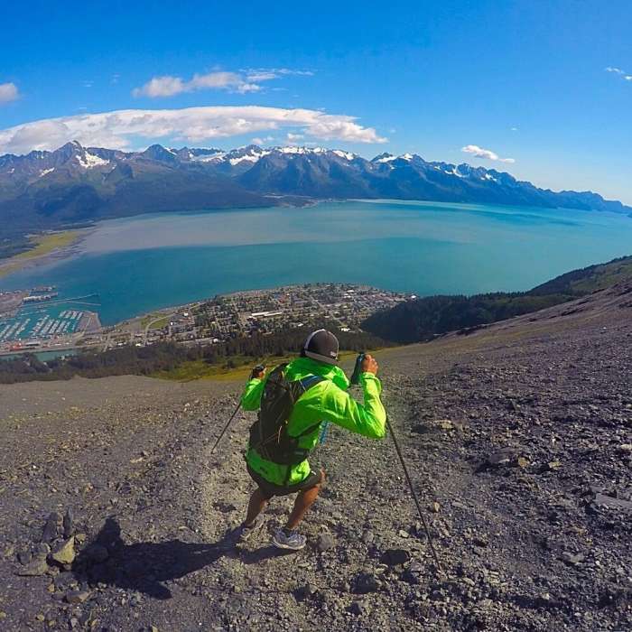
Descending Mt. Marathon Trail in Seward, Alaska.
Near Mount Marathon - Race
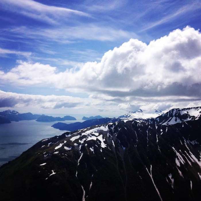
Taking in the view at race point prior to heading towards the summit of Mt. Marathon
Near Mount Marathon - Race
An extremely strenuous trail that rewards you with views all the way to the Gulf of Alaska.

Looking for more photos?

View All Photos
View Map
Driving Directions
Classic Hike Route
Buy Now View in 3D

Mount Marathon - Race

4.2 (9 Ratings)
Seward's signature test piece — a brutal, direct climb up the mountain towering over town, made legendary by one of the oldest footraces in the country. The way up scrambles through braided root systems and short rock steps before breaking onto open, exposed scree; the way down is one long, fast slide back to the trailhead. Short in distance and relentless in grade, the route packs nearly 2,900 vertical feet into under two miles one-way.
3.1
mi
Distance
2,900
ft
Gain
extreme
Difficulty
Regional Classic
A must do route for the area handpicked by local experts.
ViewsWildlife
Access Issues
Unofficially closes once snow falls; avoid during rain. The route is closed to casual hikers on July 4th for the Mount Marathon Race.

Route Details

Flatter
Steeper
3.08mi
Distance
2,900ft
Elevation Gain
2,900ft
Elevation Loss
70%
Max Grade
2,958ft
High Point
58ft
Low Point
Path Type
Loop
Description
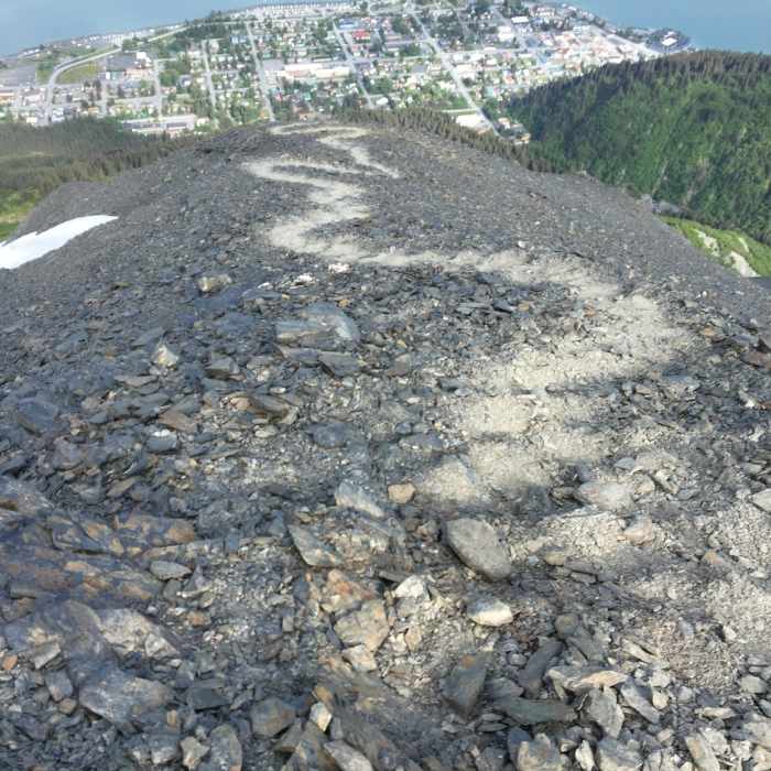
From the Mount Marathon Trailhead at 1st Avenue and Monroe Street, the route climbs directly into a steep gully. Near the base, several braided lines diverge: a line on the right called "The Roots" climbs a tangle of exposed root systems, a center-gully option called "The Cliffs" scrambles up short, steep rock steps, and a lower-angle line on the left avoids both. All three merge in the trees around 0.3 miles and continue through brush toward treeline. Above treeline, near 1 mile, the route opens onto steep, loose scree climbing across the mountain face — footing is unstable and the exposure is real. Climbing continues to Race Point, this route's high point at roughly 1.8 miles, marked by a stone marker. For the descent, drop off the north side and angle left 50 to 100 feet before picking a line down the scree. Around the midpoint, the descent crosses the ascent route on a short stretch of singletrack before returning to scree. Lower down, exit the gully left or right below treeline — avoid riding the gully all the way down, where it narrows into polished, near-vertical rock.

Route Conditions

Report Conditions
No Condition Reports
Report Conditions

Nearby Hike Routes

Two Lakes Loop

Hike Route

Two Lakes Loop

Lake
easy
0.84 mi
+90 ft
Tonsina Beach Hike

Hike Route

Tonsina Beach Hike

Views
easy
1.81 mi
+278 ft
Tonsina Point Out and Back

Hike Route

Tonsina Point Out and Back

River/Creek
moderate
4.04 mi
+663 ft
Edge of the Glacier Trail

Hike Route

Edge of the Glacier Trail

Fall Colors
moderate
2.11 mi
+212 ft
Harding Icefield

Classic Hike Route

Harding Icefield

Birding
strenuous
8.38 mi
+3,236 ft
Crescent Creek Trail

Hike Route

Crescent Creek Trail

Lake
strenuous
12.06 mi
+1,781 ft
Contributors
onX Maps, Inc
