Ready to explore this trail?
View Trail Map in AppRegional Classic
A must do route for the area handpicked by local experts.
No permits or fees are required. Exit Glacier Road is closed to vehicles from mid-November to early May. Parking at the Nature Center fills quickly on summer days.
Path Type
There and Back
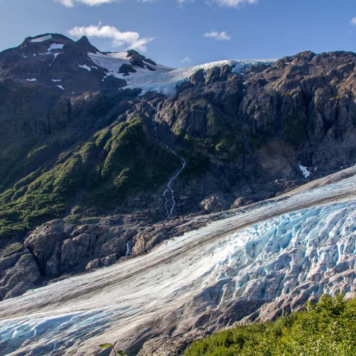
Begin at the Exit Glacier Nature Center and follow the paved trail for 0.4 miles to the junction for the Harding Icefield Trail on the right. Turn right and climb through dense alder and cottonwood forest. At 1.9 miles, reach Marmot Meadows, gaining approximately 1,000 vertical feet from the start.
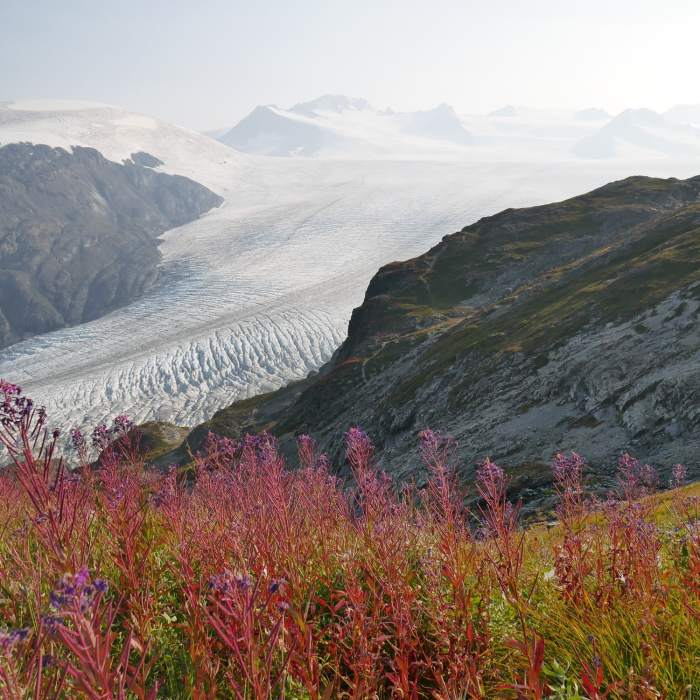
The trail continues climbing above the tree line through subalpine meadows. At 2.7 miles, arrive at Top of the Cliffs. From here, follow the trail as it traverses steep alpine tundra and loose talus.
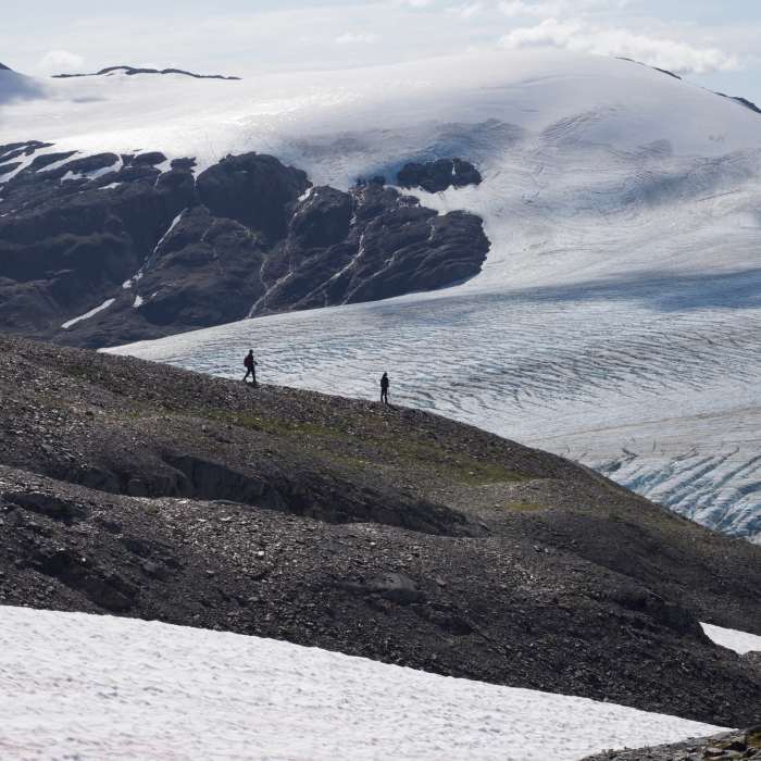
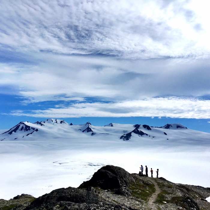
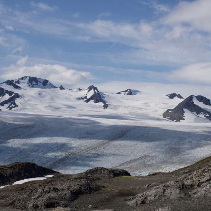
The final section is often covered in snow and ice through late summer, requiring careful footwork and route-finding when trail markers are obscured. Reach the end of the maintained trail and the emergency shelter at 4.2 miles, having gained 3,200 vertical feet. Retrace your steps to return to the trailhead.
No Condition Reports
Contributors

