Ready to explore this trail?
View Trail Map in AppRegional Classic
A must do route for the area handpicked by local experts.
Advance parking reservations are required at the Monadnock State Park Headquarters. Bookings can be made online through the state parks website. A daily fee applies, and space is limited.
Path Type
Loop
This route begins and ends at the Monadnock State Park Headquarters trailhead.
Follow the White Dot Trail as it climbs gradually through the woods. At 0.8 miles, reach the junction where the White Cross Trail branches left. Keep right to remain on the White Dot Trail.
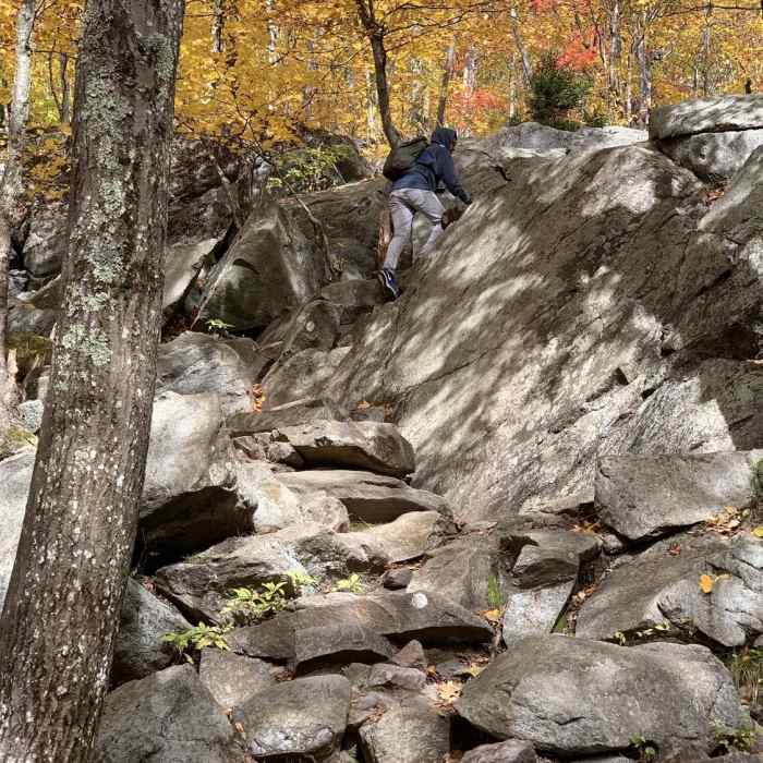
From here, the route becomes significantly steeper, climbing over rough, rocky terrain and large boulders. At 1.6 miles, the White Cross Trail merges from the left; continue straight on the White Dot Trail.
Crux: The Chute — a steep, exposed section of bare granite on the White Dot Trail in the upper third of the ascent. The trail crosses a sustained open slab at a committing angle, where foot placement requires care and hands come into play on the steeper moves. It is not technical climbing, but it demands full attention and becomes significantly more difficult and dangerous when wet. Above the Chute, the trail continues over open, exposed bedrock to the summit — loose in places and slick in wet or icy conditions. The Chute is the point where casual hiking pace and casual trail running pace both have to stop.
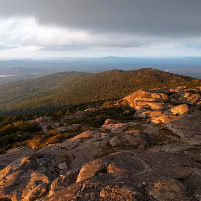
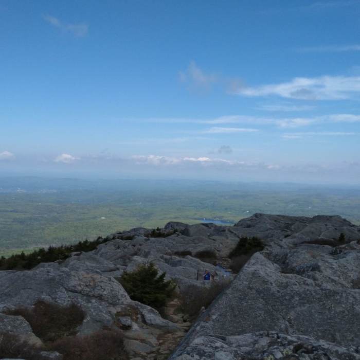
Scramble up the open granite ledges for the final 0.3 miles to reach the bare summit of Mount Monadnock at 3,120'.
To return, descend the White Dot Trail from the summit. Around 2.7 miles, at the junction, bear right onto the White Cross Trail. Follow the white cross blazes down a slightly more gradual but still rocky descent. Around 3.4 miles, the White Cross Trail rejoins the White Dot Trail. Bear right and follow the White Dot Trail back to the park headquarters.
No Condition Reports
Contributors

