Ready to explore this trail?
View Trail Map in AppPath Type
Point to Point
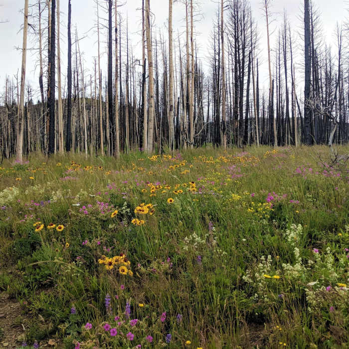
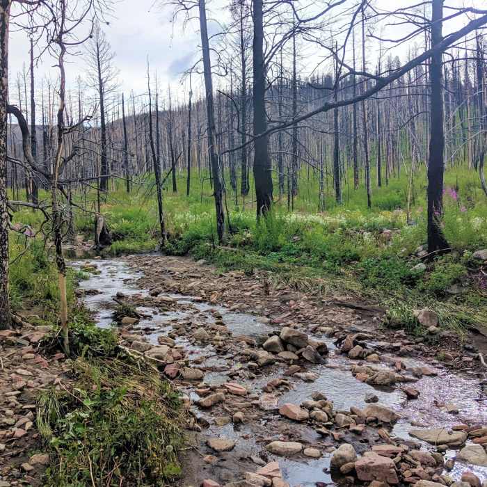
A nice day hike up to the Continental Divide, the Alice Creek Trail climbs almost 2,000 feet through meadows and burned forest to breathtaking views of the surrounding mountains. Hikers begin at the Alice Creek Trailhead and gently climb for the first 2.5 miles through abundant wildflowers, following along an old road next to Alice Creek. Keep an eye out for lupine and indian paintbrush during the late spring, and sunflowers and daisies in the summer.
The trail then becomes steeper, winding along a mountain slope as a series of switchbacks past tiny freshwater springs and waterfalls. Abundant grouse and deer linger in these higher regions as well. The trail finally crests at the top of a mountain saddle, ending at a junction with the Continental Divide Trail (CDT). For a good picnic spot, turn right and follow the trail for about a quarter of a mile to an open alpine meadow, filled to bursting with wildflowers all through the spring and summer. Hikers can either turn around at the junction and head back the way they came, or follow the CDT in either direction. For a longer day hike with huge rewards, turn right at the junction and follow the CDT for 4.5 miles to Lewis and Clark Pass, then back down to the trailhead. This loop allows for sweeping views of the Eastern Rocky Mountain Front and the grasslands beyond, as well as the epic limestone cliffs visible along Alice Creek. All in all, if you're looking for adventure, the Alice Creek Trail is perfect for you.
DRIVING DIRECTIONS: From Lincoln take MT-200 East approximately 10 miles to Alice Creek Road. Turn left onto the road and follow signs for the Alice Creek Trailhead, about 10 miles. The road is paved to start but quickly becomes a gravel road, so be advised if you have a low-clearance car. Once at the trailhead, follow signs for the Alice Creek Trail/Junction with the CDT
No Condition Reports
Continental Divide Trail: Montana-Idaho Section 22
Continental Divide Trail: Montana-Idaho Section 22
Continental Divide Trail: Straight Creek Alternate
Continental Divide Trail: Straight Creek Alternate
Continental Divide Trail: Montana-Idaho Section 21
Continental Divide Trail: Montana-Idaho Section 21
Contributors

