Near Ore Pit Loop Trail
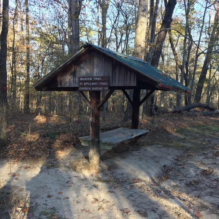
Day Shelter along the Ore Pit Trail (and Montgomery Bell Trail).

Looking for more photos?

View All Photos
View Map
Driving Directions
Hike Trail

Ore Pit Loop Trail

3.8 (4 Ratings)
A 1.4-mile loop trail that winds up and down through woods past the iron ore pits dug in 1801.
1.5
mi
Distance
274
ft
Gain
moderate
Difficulty
BirdingFall ColorsSpringViewsWildlife

Route Details

Flatter
Steeper
1.51mi
Distance
274ft
Elevation Gain
274ft
Elevation Loss
20%
Max Grade
775ft
High Point
605ft
Low Point
Path Type
Loop
Description
The Ore Pit Loop Trail (red blaze) begins near the Cumberland Presbyterian Church. The Ore Pit Loop Trail and the Montgomery Bell Trail merge at the north side of Jackson Hollow Creek for part of the loop. The Ore Pit Loop recognized for the large pits--as well as scattered pieces of the timeworn Laurel Furnace built in 1815 by Robert Napier--seen on either side of the trail. In the early 1800s, iron ore was discovered here and men came to work digging for iron and clearing the forests for fuel. However, the onset of the Civil War halted to that industry and the forest reclaimed the land.

Route Conditions

Report Conditions
No Condition Reports
Report Conditions

Nearby Hike Routes

Montgomery Bell Trail

Hike Route

Montgomery Bell Trail

Lake
moderate
10.22 mi
+1,146 ft
South Loop

Hike Route

South Loop

Fall Colors
moderate
7.64 mi
+792 ft
North Loop

Hike Route

North Loop

Dogs Allowed
moderate
5.98 mi
+538 ft
Narrows of the Harpeth

Hike Route

Narrows of the Harpeth

Views
easy
0.88 mi
+191 ft
John Noel Trail

Hike Route

John Noel Trail

Birding
moderate
0.95 mi
+104 ft
Perimeter Trail

Hike Route

Perimeter Trail

Lake
easy
4.75 mi
+357 ft
Contributors
Ryan Spr
