Near Panther Pass
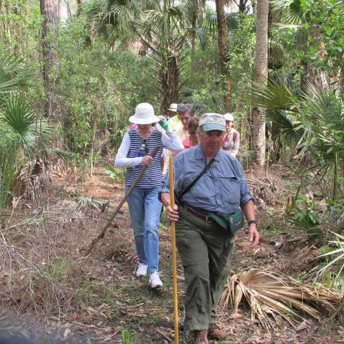
A group of hikers using the Black Bear Berm Trail.
Near Panther Pass
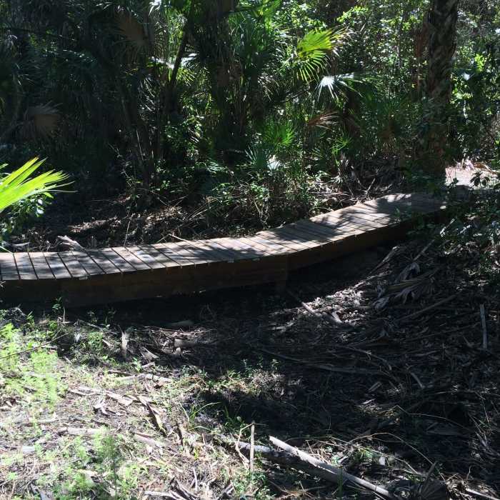
This is one of the bike features along the Panther Pass Trail, a shared biking and hiking trail.

Looking for more photos?

View All Photos
View Map
Driving Directions
Hike Trail
Buy Now View in 3D

Panther Pass

3.0 (1 Rating)
This shady and winding shared biking and pedestrian trail traverses a beautiful wet flatwoods.
1.4
mi
Distance
ft
Gain
moderate
Difficulty
BirdingWildflowersWildlife
Access Issues
The preserve and trails are closed between June and September each year.

Route Details

Flatter
Steeper
1.37mi
Distance
0ft
Elevation Gain
1ft
Elevation Loss
5%
Max Grade
22ft
High Point
19ft
Low Point
Path Type
Point to Point
Description
The pine and hardwood forest this trail explores is a mature native forest, which provides significant habitat for feeding, roosting, and denning animals. Rare terrestrial orchids have been found growing along the trail. Hikers, runners, and bikers can develop short or longer bikes/hikes, as desired, using this trail to link to others in the system. Black Bear Berm is quickly accessed from this route, providing other loop options.

Route Conditions

Report Conditions
No Condition Reports
Report Conditions

Nearby Hike Routes

Caloosahatchee Regional Park - North

Hike Route

Caloosahatchee Regional Park - North

River/Creek
moderate
10.06 mi
+42 ft
Sabal Palm Trail

Hike Route

Sabal Palm Trail

Birding
easy
2.1 mi
+0 ft
Big Cypress 15

Hike Route

Big Cypress 15

River/Creek
moderate
14.85 mi
+0 ft
Tram Trail

Hike Route

Tram Trail

ADA Accessible
easy
14.69 mi
+0 ft
William Boylston Nature Trail

Hike Route

William Boylston Nature Trail

Birding
easy
0.89 mi
+0 ft
Loxahatchee National Wildlife Refuge

Hike Route

Loxahatchee National Wildlife Refuge

easy
11.61 mi
+0 ft
Contributors
Alexandra Sulecki
