Near Hack-n-Yack
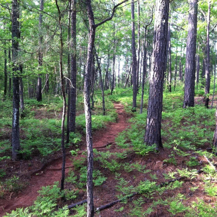
Spring ferns on Hack-n-Yack
Near Hack-n-Yack
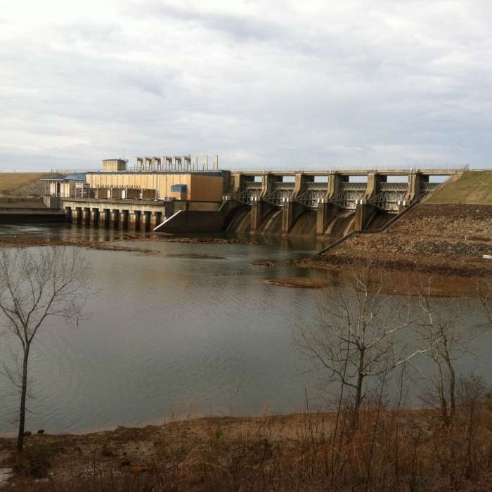
This great view of West Point Dam can only be had from the Hack-n-Yack Trail.
Near Hack-n-Yack
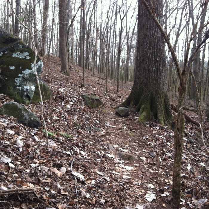
Narrow navigation by one of the few large boulders on the property.

Looking for more photos?

View All Photos
View Map
Driving Directions
Hike Trail

Hack-n-Yack

4.0 (1 Rating)
Two difficult miles of roots, climbs and rugged descents.
2.1
mi
Distance
205
ft
Gain
strenuous
Difficulty
Views

Route Details

Flatter
Steeper
2.1mi
Distance
205ft
Elevation Gain
264ft
Elevation Loss
15%
Max Grade
703ft
High Point
574ft
Low Point
Path Type
Point to Point
Description
Just as the summary says you'll get a good dose of roots on this trail. The opening descent was created to get away from the original fall line descent known as Suicide Hill. This section is now nicely graded but has a rugged downhill. The aforementioned downhill spills out at the bottom of the power line easement where you'll get a great view of West Point Dam, just prior to a short technical descent along the river. The rest of the trail undulates over rocks and roots providing various technical challenges.

Route Conditions

Report Conditions
Anonymous Adventurer
Some Issues
Downed Tree
Anonymous Adventurer
All Clear
Looking for more condition reports?
View History

Nearby Hike Routes

Wolfden Loop

Hike Route

Wolfden Loop

Cave
moderate
6.41 mi
+883 ft
Pine Mountain Trail

Hike Route

Pine Mountain Trail

Birding
moderate
22.14 mi
+3,296 ft
Chewacla State Park

Hike Route

Chewacla State Park

Birding
moderate
3.59 mi
+348 ft
Falls and Creeks Loop

Hike Route

Falls and Creeks Loop

Fall Colors
moderate
5.03 mi
+251 ft
Walker Bynum Tower Loop

Hike Route

Walker Bynum Tower Loop

Lake
moderate
0.81 mi
+293 ft
Link Way to Wind Way Hills

Hike Route

Link Way to Wind Way Hills

Birding
strenuous
3.46 mi
+482 ft
Contributors
Ken Hacka
