Near Black Trail
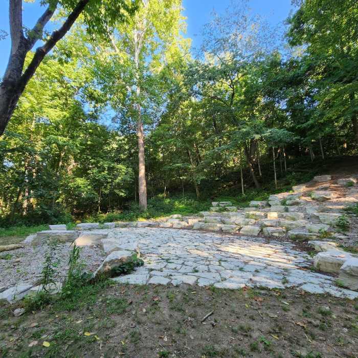
Hillside Amphitheater.

Looking for more photos?

View All Photos
View Map
Driving Directions
Hike Trail

Black Trail

4.0 (1 Rating)
A nice easy trail with slight grade changes. Mostly meadow with a few tracks into the woods.
0.9
mi
Distance
3
ft
Gain
easy
Difficulty
BirdingWildflowersWildlife

Route Details

Flatter
Steeper
0.92mi
Distance
3ft
Elevation Gain
13ft
Elevation Loss
5%
Max Grade
801ft
High Point
779ft
Low Point
Path Type
Point to Point
Description
The Black Trail is a generally flat hike in open meadow with some segments along or into the woods. Nice wildflowers and boxes to attract birds. The trail is mostly double wide, mowed field "grass". Morris Reserve is located at 3151 Lower Bellbrook Road, Bellbrook, Ohio. It is a new addition to Bellbrook Sugarcreek Park District and still being developed. The reserve covers 177 acres of woodland, prairies and meadows.

Route Conditions

Report Conditions
No Condition Reports
Report Conditions

Nearby Hike Routes

Overlook Loop

Hike Route

Overlook Loop

River/Creek
moderate
1.78 mi
+68 ft
Broken Toe 25k & 50k

Hike Route

Broken Toe 25k & 50k

Fall Colors
moderate
13.85 mi
+1,209 ft
Hisey Park Sampler Loop

Hike Route

Hisey Park Sampler Loop

Birding
moderate
3.23 mi
+206 ft
Caesar Creek Lake Perimeter Trail

Hike Route

Caesar Creek Lake Perimeter Trail

Birding
strenuous
15.36 mi
+1,002 ft
Orange Trail

Hike Route

Orange Trail

Birding
easy
4.11 mi
+145 ft
Miller Ecological Park Loops

Hike Route

Miller Ecological Park Loops

Birding
easy
2.62 mi
+56 ft
Contributors
Tim Toth
