
Ready to explore this trail?
View Trail Map in AppThis is a trail in Addicks Reservoir that is not maintained. Please comply with Corps of Engineer's regulations by not disturbing the ground or vegetation. Refer to the "Addicks Reservoir" page for area-wide information.
Path Type
Point to Point
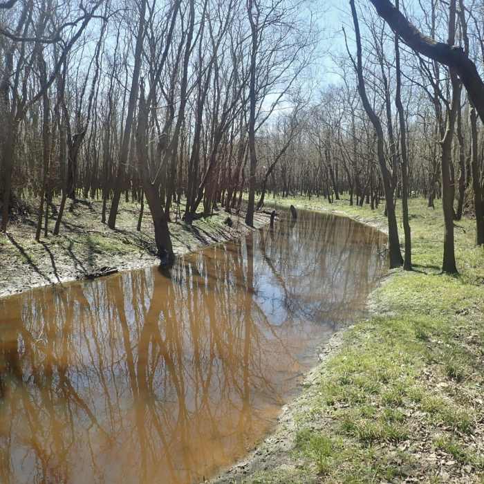
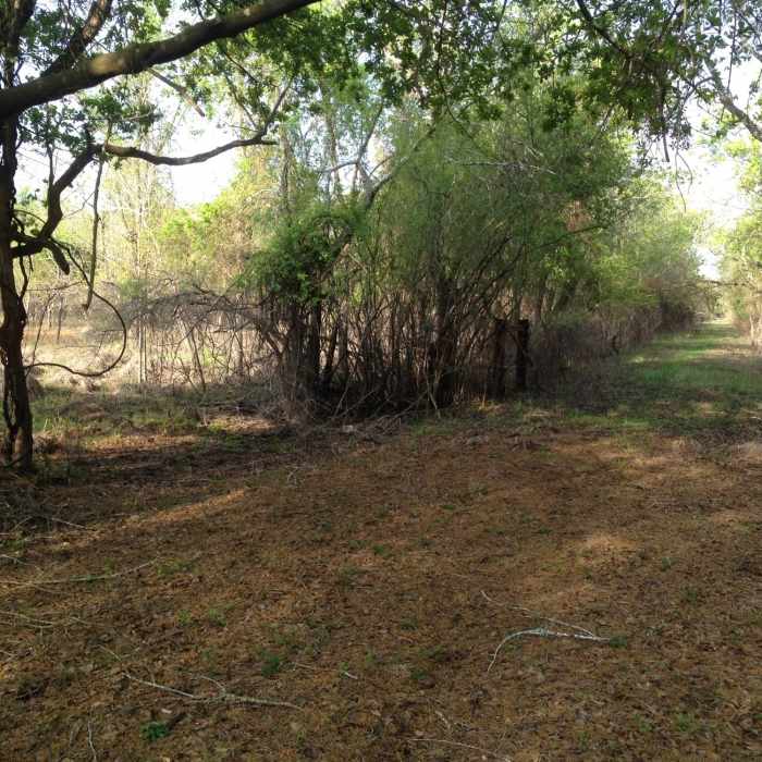
This trail follows a legacy roadbed that is relatively high, but it is muddy after rains.
The north end begins on the Bauer Trail just at the eastern end of the barbed wire fence. You should move to the southwest for about 100-200 feet to then travel due south. This roadbed was wide with borrow ditches on each side. At the south end of this segment, the trail turns due west, sharing the route of Miles Trail for about 500 feet.
The trail then heads due south for a bit over a half a mile, then turns east to end up at the south end of Bauer Trail.
Expect mosquitoes.
According to US Army Corps of Engineers' records, this road was along the boundary between land owned by the Herman (sic) Hospital Trust and land to the west owned by Tim Miles et al.
No Condition Reports
Contributors

