Ready to explore this trail?
View Trail Map in AppLeashed dogs are allowed on this trail, but definitely not recommended due to this path's steep nature.
Path Type
Point to Point
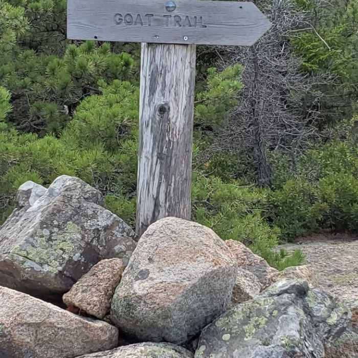
The Goat Trail is a short and very steep path with the most direct access to the top of Norumbega Mountain, which has the best views of Somes Sound (one of Acadia's most picturesque bodies of water), particularly on a sunny day. Despite its physical demands, this path can provide a lot of fun for those who are in decent shape and like the challenge of a significant climb. Although most people merely consider it an approach path to Norumbega's summit, this trail has several enjoyable aspects to recommend it.
There is only one main access point to this path. The trail starts out right at the edge of the Norumbega Mountain Pull-Off Parking Area located directly off Route 3, just a little bit above Upper Hadlock Pond. If that lot is full, you can always park well off to the side of the road, as many people do.
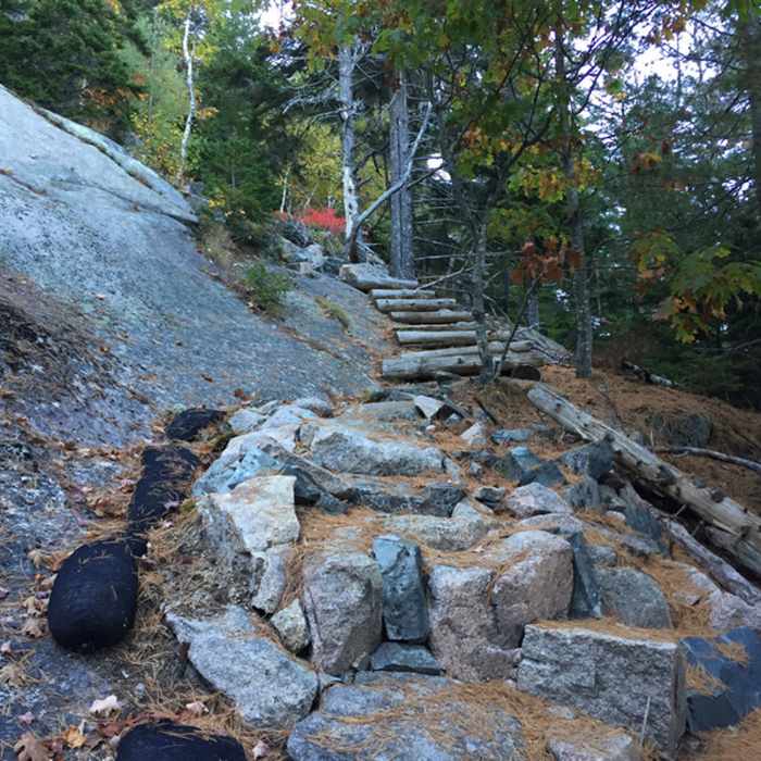
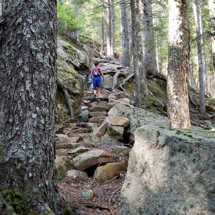
This path is only 0.6 miles, but it's a very steep and rocky climb, and one that should not be taken lightly. It has an elevation gain of over 550 feet, complete with several nice and significant granite ledges and cliffs. One really does feel like a goat at various points along this path. The bottom half of the trail is well-forested, but as you get closer to the top there are several open areas, which are still surrounded by sizable trees, so the views can sometimes leave you wanting. Nevertheless, when you finally reach Norumbega's rocky summit at 852 feet, which is also the southern end of this trail, you'll get some decent views of Somes Sound and the park's western mountains. But don't count on getting a full vista at the summit as vegetation obscures part of the view there and along most of the Norumbega Mountain Trail. Please note that you should really only hike up the Goat Trail, rather than try to descend it. The southern part of the Norumbega Mountain Trail, which runs off the summit, connects with the Hadlock Ponds Trail and offers a much easier and more pleasant hike down the mountain.
Overall, most people tend to dismiss this trail as merely a connector to Norumbega's summit, but for those adventurers who don't have a lot of time on their hands, and who enjoy scaling steep, rocky areas, complete with some sizable granite ledges, this is quite a fun trail. It also is the most direct route up Norumbega, which is one Acadia's more secluded mountain hikes with some terrific, albeit somewhat obscured, views.
No Condition Reports
Contributors

