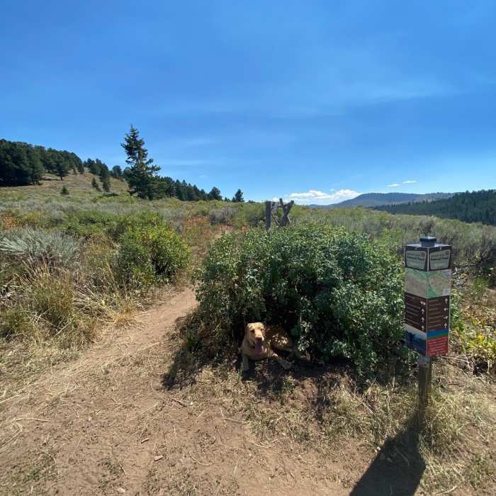
Near Ferrin's Trail #4037A
Ferrin's Trail.
Near Ferrin's Trail #4037A
End of Skyline intersection.

Looking for more photos?

View All Photos
View Map
Driving Directions
Hike Trail

Ferrin's Trail #4037A

4.7 (3 Ratings)
Great switchback ascent/descent that originates from the Hagen singletrack.
3.3
mi
Distance
1,207
ft
Gain
moderate
Difficulty
Views

Route Details

Flatter
Steeper
3.31mi
Distance
1,207ft
Elevation Gain
0ft
Elevation Loss
30%
Max Grade
7,655ft
High Point
6,448ft
Low Point
Path Type
Point to Point
Description
The Ferrins trail connects the Cache Creek trail network to the saddle just East of the radio tower summit on Snow King Mountain. The base of the trail originates from the Hagen trail halfway between Snow King and Cache Creek Trailhead. From the top end of the trail one can choose between hiking South (Wilson Canyon & Game/West Game Creeks) or West up to the summit of Snow King Mountain. The views from the saddle North afford great views of Grand Teton National Park and the National Elk Refuge. This is a great out and back or as a link up to other longer loops which makes this a very popular trail. The majority of the trail is shaded switchbacks with just the last couple exposed to the sun. Watch out for hikers and bikers almost all times during the day.

Route Conditions

Report Conditions
Anonymous Adventurer
All Clear
Looking for more condition reports?
View History

Nearby Hike Routes

Hagen to Putt-Putt

Hike Route

Hagen to Putt-Putt

River/Creek
strenuous
6.04 mi
+852 ft
Cache Creek to Skyline Loop

Hike Route

Cache Creek to Skyline Loop

Fall Colors
strenuous
13.42 mi
+2,105 ft
Crystal Butte Summit

Hike Route

Crystal Butte Summit

Views
strenuous
5.04 mi
+2,324 ft
Snow King Summit Trail

Hike Route

Snow King Summit Trail

Family Friendly
moderate
3.82 mi
+1,547 ft
Josie's Ridge

Hike Route

Josie's Ridge

Family Friendly
strenuous
2.81 mi
+1,038 ft
Jackson Peak

Classic Hike Route

Jackson Peak

Birding
strenuous
9.78 mi
+2,655 ft
Contributors
Marty Guinta
