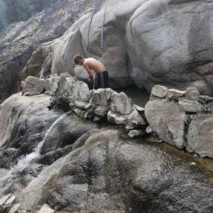
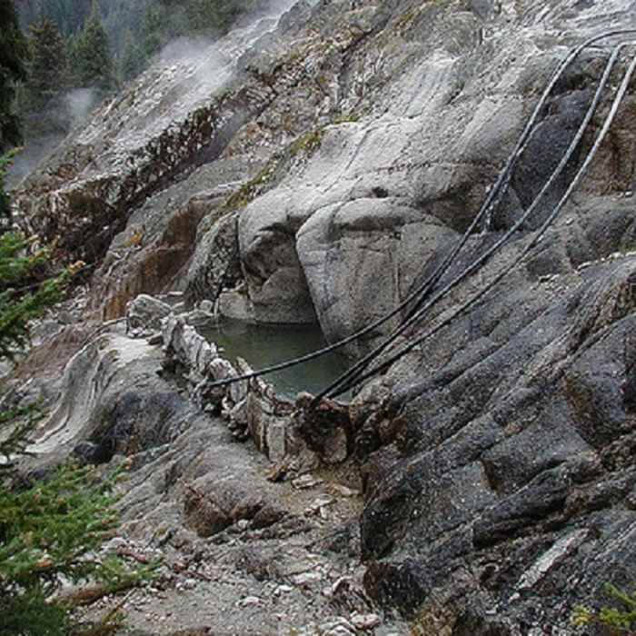
Near Deadwood Hot Springs Trail
Took 3.5 hours and the last bit was pretty difficult but we got there. Black round berries are by the front of the hot springs still unsure as to what they are
Near Deadwood Hot Springs Trail
Keep it clean. Forest Circus has blown up and or closed many others.

Looking for more photos?

View All Photos
View Map
Driving Directions
Hike Trail

Deadwood Hot Springs Trail

3.5 (2 Ratings)
If you made it to the trailhead, you are as good as golden for a stellar soak!
1.2
mi
Distance
321
ft
Gain
moderate
Difficulty
Fall ColorsFamily FriendlyHot SpringLakeRiver/CreekSwimmingWildflowersWildlife

Route Details

Flatter
Steeper
1.17mi
Distance
321ft
Elevation Gain
119ft
Elevation Loss
15%
Max Grade
5,531ft
High Point
5,268ft
Low Point
Path Type
Point to Point
Description
A short trail to one of our better Idaho hot springs. Assuming the government has not dynamited and/or closed the hot spring, you can expect a wonderful soak half way up a small cliff overlooking the creek. The trail is well maintained right up to the last 200 feet, and if you were not aware, you may be lead to believe the trail ended or joined an old logging road.

Route Conditions

Report Conditions
No Condition Reports
Report Conditions

Nearby Hike Routes

Tyndall Creek Out-and-Back

Hike Route

Tyndall Creek Out-and-Back

River/Creek
moderate
10.75 mi
+2,054 ft
Station Creek to Bald Mountian

Hike Route

Station Creek to Bald Mountian

Birding
moderate
3.68 mi
+2,181 ft
Middle Fork of the Salmon River Trail a Day 1

Hike Route

Middle Fork of the Salmon River Trail a Day 1

Views
strenuous
13.68 mi
+1,563 ft
Cape Horn Mountain from Lola Creek

Hike Route

Cape Horn Mountain from Lola Creek

Birding
strenuous
5.52 mi
+3,199 ft
Waipiti Ridge Trail

Hike Route

Waipiti Ridge Trail

Dogs Allowed
strenuous
6.8 mi
+4,061 ft
Marten + Kelly Lake, Bench Creek Divide

Hike Route

Marten + Kelly Lake, Bench Creek Divide

Dogs Allowed
moderate
4.73 mi
+1,129 ft
Contributors
Joseph States
