Ready to explore this trail?
View Trail Map in AppPath Type
Point to Point
This trail is situated in between UCCS's open space in Austin Bluffs and Pulpit Rock Park. It begins at the north end of the parking lot for the Heller Center. This trailhead can be reached by hiking the North Campus Heights Trail or by car from N. Campus Heights and N. Nevada. However, parking at the Heller Center is uncertain and you may be ticketed.
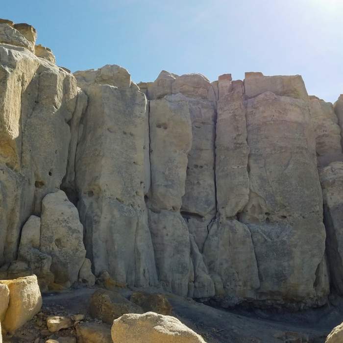
The hike begins on a narrow but clearly defined track on the hill to the north of the Heller Center buildings. It runs uphill and reaches a fork 0.10 miles in. At this fork, take the trail to the left another 0.10 miles downhill. Here you'll come to another fork; turn right this time. You'll hike along a narrow track that rises and falls frequently and underlies the western face of the cliffs of the Pulpit formation.
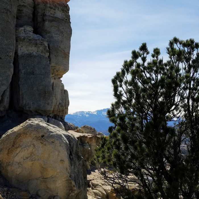
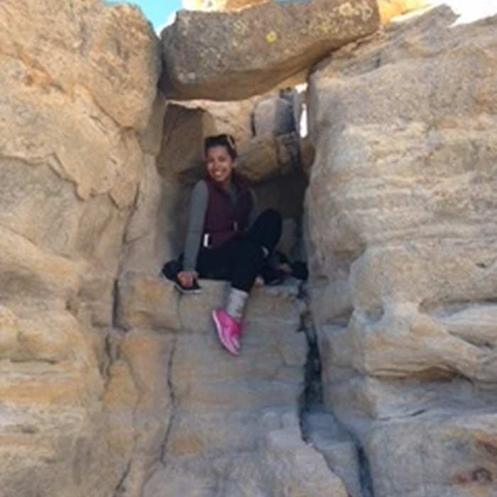
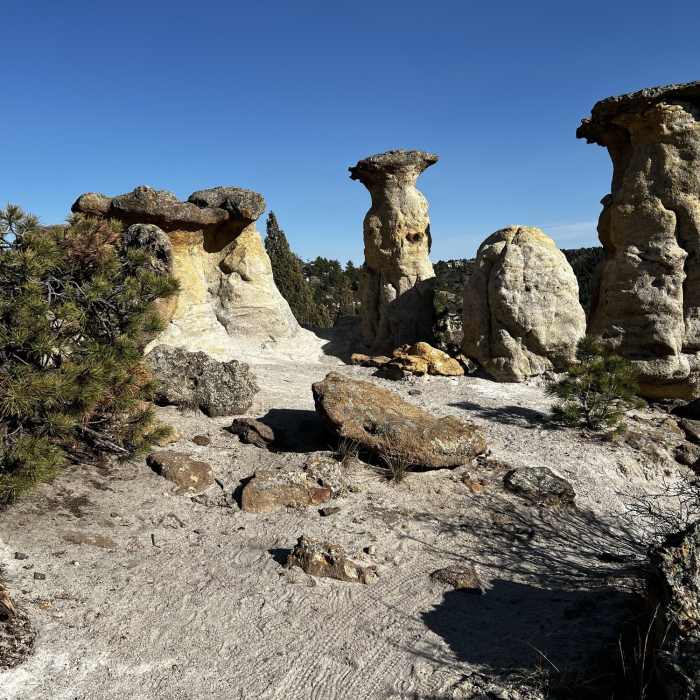
At 0.5 miles, the trail becomes easy to lose as it begins climbing to the top of Pulpit Rock. If you lose the trail, just keep heading up by the path of least resistance. When you reach the top of the ridge, you can take a short extension west on the Pulpit Rock Trail from Lot 580 and head to the top of Pulpit Rock. Getting to the top of the rock requires some scrambling and climbing, but pedestrian access to the top is common.
From the top of the rock, turn back east, following the ridge past the place where you made your ascent; you may again need to scramble and climb some rocks. Going east 0.2 miles from the top of Pulpit Rock, you'll reach a wide, flat, empty area with 360-degree views and multiple trails intersecting. Turn to the right (south), and follow the trail down the ridge. You'll need to avoid roots and rocks while descending the ridge. Be aware as rattlesnakes love to hide under these roots and rocks!
Toward the end of the ridge the trail winds down very steeply back to the hill you started up. If you head to the very southern end of the ridge there is a beautiful rock outcrop and overlook of the canyons. Otherwise, stay to the left, or east, side of the ridge, where you'll find a trail to take you back down to the base of the ridge. Be cautious here; there are many loose rocks, and the trail is a steep grade, up to 20%.
Once you are off of the ridge, you'll be on the same trail on which you started. Go straight to get back to the Heller Center, or turn left to go deeper into the canyons of Austin Bluffs.
No Condition Reports
Sentinel Point via Grandview and Cheyenne Trail Loop
Sentinel Point via Grandview and Cheyenne Trail Loop
Contributors

