Near Hogback Valley Trail
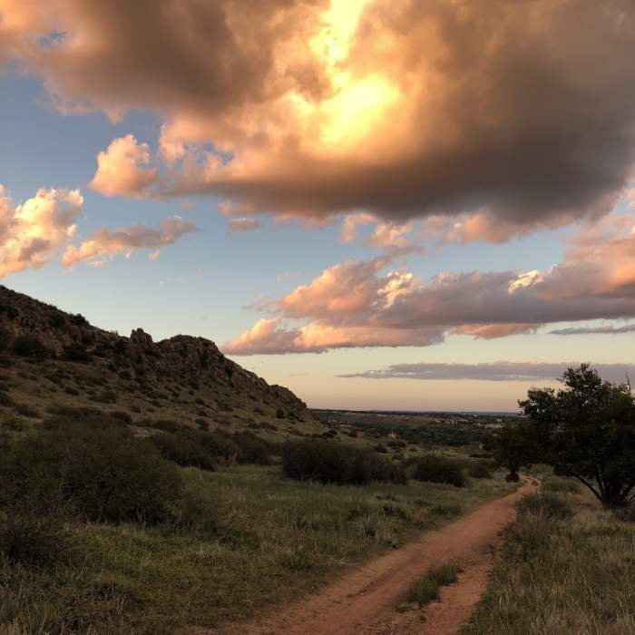
Open paths & fall colors
Near Hogback Valley Trail
Looking down the Codell Trail ridge.
Near Hogback Valley Trail
Sunset heading back north on the Hogback Valley Trail
Near Hogback Valley Trail
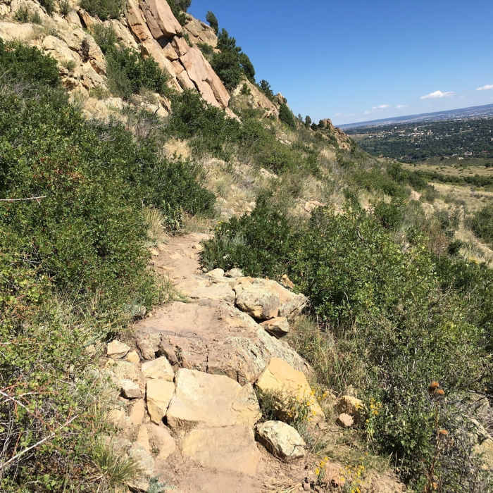
Sketchy section on Upper Codell.
Near Hogback Valley Trail
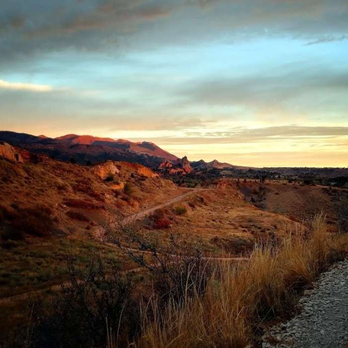
Sunrise over Red Rock Canyon.

Looking for more photos?

View All Photos
View Map
Driving Directions
Hike Trail

Hogback Valley Trail

2.3 (3 Ratings)
A beautiful stretch of trail through a valley between two hogbacks with mountains in the distance.
1
mi
Distance
ft
Gain
strenuous
Difficulty
Fall ColorsViews

Route Details

Flatter
Steeper
0.97mi
Distance
0ft
Elevation Gain
250ft
Elevation Loss
20%
Max Grade
6,449ft
High Point
6,199ft
Low Point
Path Type
Point to Point
Description
Accessed after a short warm up hike from parking on 31st Street, this trail has a sense of isolation due to the hogbacks. The ascent is steady, but gentle. The beauty of this place always gets me. The combination of rock walls of the hogbacks on the sides, the green mountains in the distance, and the grassy valley with trees and shrubs dotting the landscape is amazing.

Route Conditions

Report Conditions
No Condition Reports
Report Conditions

Nearby Hike Routes

Lion and Chamberlain Loop

Hike Route

Lion and Chamberlain Loop

Dogs Allowed
easy
3.5 mi
+512 ft
Coyote Gulch and Creekbottom Loop

Hike Route

Coyote Gulch and Creekbottom Loop

Dogs Allowed
easy
1.31 mi
+172 ft
Bear Creek, Mountain Scrub, and Yellow Jacket Loop

Hike Route

Bear Creek, Mountain Scrub, and Yellow Jacket Loop

Dogs Allowed
easy
3.86 mi
+570 ft
The Red Rocks

Hike Route

The Red Rocks

Lake
moderate
4.24 mi
+573 ft
Section 16 to Jones Park (and back) Mountain Ramble

Hike Route

Section 16 to Jones Park (and back) Mountain Ramble

Fall Colors
strenuous
19.44 mi
+4,756 ft
Section 16/Palmer Loop

Hike Route

Section 16/Palmer Loop

River/Creek
moderate
5.55 mi
+1,278 ft
Contributors
Jason Doedderlein
