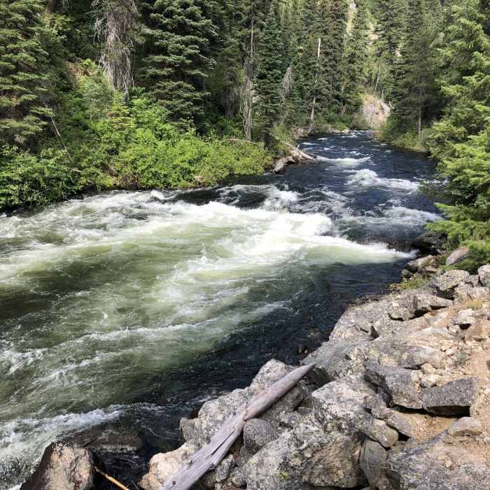
Near Whitehawk Basin Trail
Trail runs right along the river for the first 1.5 miles. Amazing!!

Looking for more photos?

View All Photos
View Map
Driving Directions
Hike Trail

Whitehawk Basin Trail

5.0 (2 Ratings)
A nice trail from the dam over to the Deadwood Ridge Trail.
6.8
mi
Distance
1,331
ft
Gain
moderate
Difficulty
BirdingLakeRiver/CreekViewsWildflowersWildlife

Route Details

Flatter
Steeper
6.78mi
Distance
1,331ft
Elevation Gain
694ft
Elevation Loss
30%
Max Grade
6,258ft
High Point
5,112ft
Low Point
Path Type
Point to Point
Description
Along this trail, hikers will experience lots of exposed granite mixed with pine. The trail alternates between traveling over a wide doubletrack surface and the rock, meaning that you'll want to keep an eye on your feet. Along the way, there are small meadows, which make for great places to see some wildlife.

Route Conditions

Report Conditions
No Condition Reports
Report Conditions

Nearby Hike Routes

Tyndall Creek Out-and-Back

Hike Route

Tyndall Creek Out-and-Back

River/Creek
moderate
10.75 mi
+2,054 ft
Station Creek to Bald Mountian

Hike Route

Station Creek to Bald Mountian

Birding
moderate
3.68 mi
+2,181 ft
Middle Fork of the Salmon River Trail a Day 1

Hike Route

Middle Fork of the Salmon River Trail a Day 1

Views
strenuous
13.68 mi
+1,563 ft
Cape Horn Mountain from Lola Creek

Hike Route

Cape Horn Mountain from Lola Creek

Birding
strenuous
5.52 mi
+3,199 ft
Waipiti Ridge Trail

Hike Route

Waipiti Ridge Trail

Dogs Allowed
strenuous
6.8 mi
+4,061 ft
Marten + Kelly Lake, Bench Creek Divide

Hike Route

Marten + Kelly Lake, Bench Creek Divide

Dogs Allowed
moderate
4.73 mi
+1,129 ft
Contributors
Joseph States
