Near Cherry Island Marsh Trail
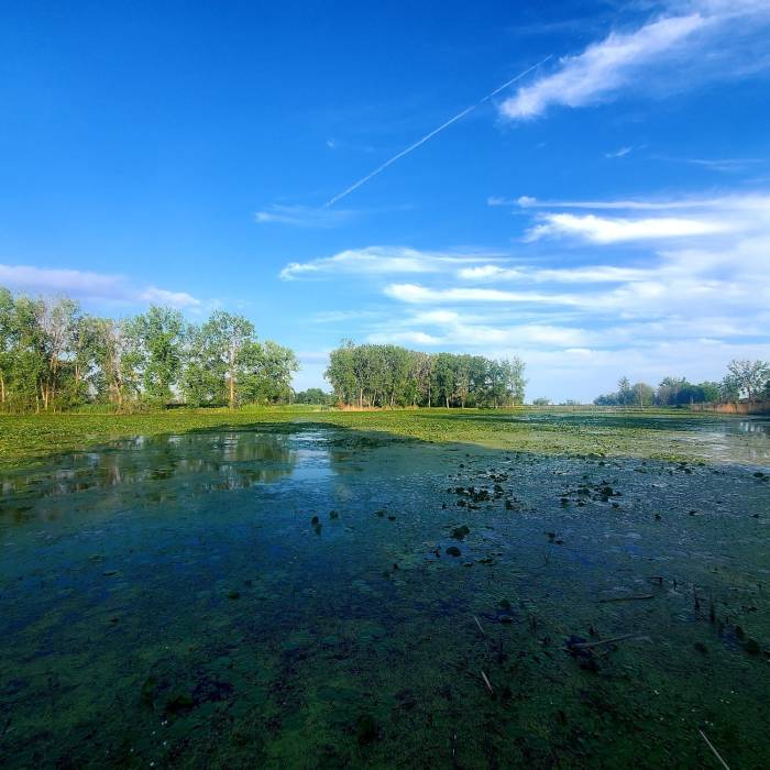
Marshland picture taken from boardwalk.

Looking for more photos?

View All Photos
View Map
Driving Directions
Hike Trail

Cherry Island Marsh Trail

4.0 (1 Rating)
Short nice trail over marshlands.
1.3
mi
Distance
ft
Gain
easy
Difficulty
BirdingLakeLakefrontWildlife

Route Details

Flatter
Steeper
1.34mi
Distance
0ft
Elevation Gain
0ft
Elevation Loss
5%
Max Grade
579ft
High Point
572ft
Low Point
Path Type
Loop
Description
This trail traverses a coastal marsh and the Lake Erie/Detroit River shoreline. This trail alternates between compacted gravel with sections of boardwalk and asphalt. Minimum width is 6-feet and maximum grade is 4%. There are eight shallow transitions between boardwalk and compacted gravel trail. The large bridge on the southeast corner of trail has a slight incline.

Route Conditions

Report Conditions
No Condition Reports
Report Conditions

Nearby Hike Routes

Ford Field Park

Hike Route

Ford Field Park

Birding
moderate
4.92 mi
+0 ft
Prairie Pathway

Hike Route

Prairie Pathway

Birding
easy
1.35 mi
+0 ft
Joe Prance Nature Trail and Butterfly Gardens

Hike Route

Joe Prance Nature Trail and Butterfly Gardens

Birding
moderate
0.96 mi
+0 ft
Hewen's Creek Park

Hike Route

Hewen's Creek Park

Birding
moderate
3.14 mi
+13 ft
Scarlett Mitchell Nature Area Route

Hike Route

Scarlett Mitchell Nature Area Route

Family Friendly
moderate
1 mi
+15 ft
Marshall Nature Area and Tom A. Freeman Preserve Loop

Hike Route

Marshall Nature Area and Tom A. Freeman Preserve Loop

Fall Colors
moderate
2.36 mi
+170 ft
Contributors
Leslie Hall
