Near Bevo Loop
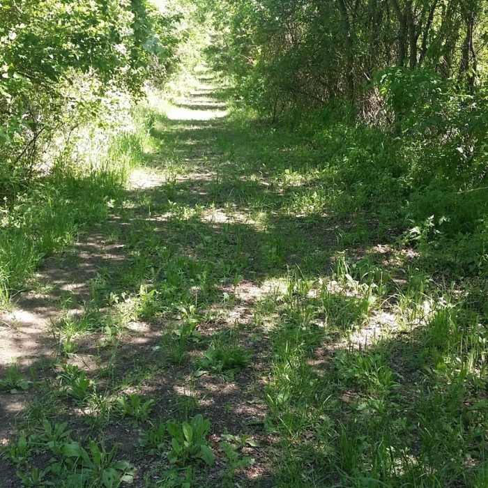
In springtime, the trails can have lots of low-hanging vegetation.
Near Bevo Loop
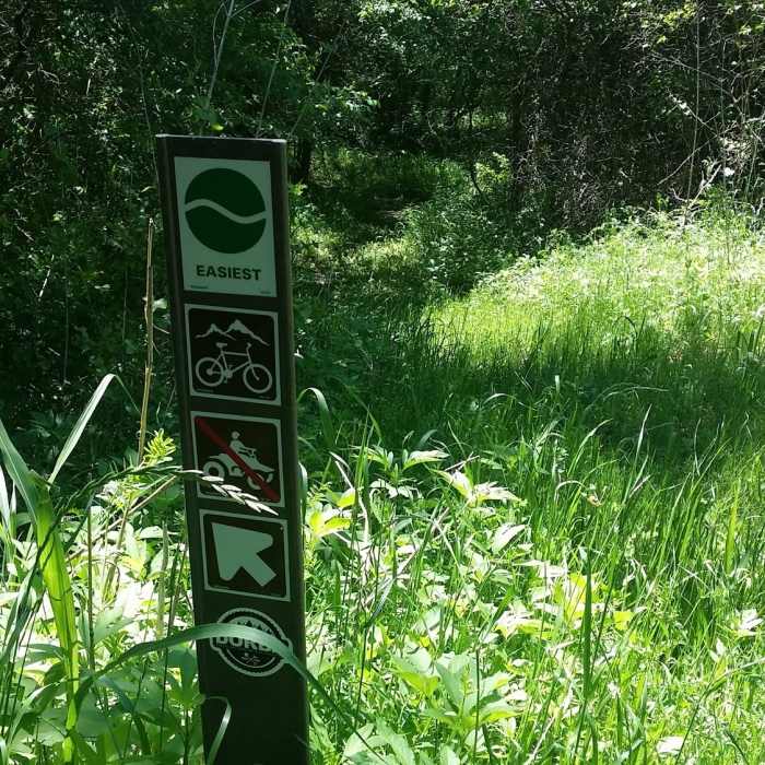
These are the typical trail markers used throughout Goat Island Nature Preserve.
Near Bevo Loop
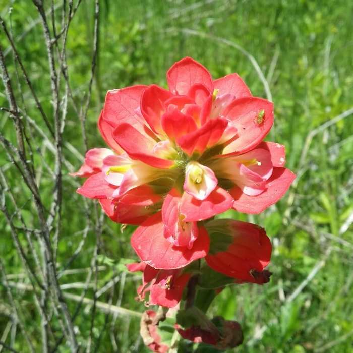
Lovely Castilleja (Indian Paintbrush) create a wonderful backdrop to the trails in Goat Island Nature Preserve.

Looking for more photos?

View All Photos
Driving Directions
Hike Trail

Bevo Loop

3.0 (1 Rating)
An alternate singletrack route from the levee back to the park entrance.
0.2
mi
Distance
2
ft
Gain
easy
Difficulty
Fall ColorsWildlife

Route Details

Flatter
Steeper
0.23mi
Distance
2ft
Elevation Gain
0ft
Elevation Loss
5%
Max Grade
392ft
High Point
376ft
Low Point
Path Type
Point to Point
Description
This trail is an alternate singletrack route that begins shortly after the entrance directly off the Ranch Road Trail and takes you up onto the levee's Roadrunner Trail. It runs down a short descent through heavy tree cover and through a low lying area that can stay very wet. When mapping the trail, there were signs of substantial hog activity so keep your eyes peeled for wildlife.

Route Conditions

Report Conditions
No Condition Reports
Report Conditions

Nearby Hike Routes

Goat Island Nature Preserve

Hike Route

Goat Island Nature Preserve

Birding
moderate
7.1 mi
+17 ft
Cedar Ridge Loop

Hike Route

Cedar Ridge Loop

Views
moderate
5.53 mi
+736 ft
Cedar Hill State Park Loop

Hike Route

Cedar Hill State Park Loop

Lake
moderate
11.56 mi
+491 ft
Spring Creek Forest Preserve

Hike Route

Spring Creek Forest Preserve

Birding
moderate
1.62 mi
+44 ft
Chisholm Trail: 3 Bridges Loop

Hike Route

Chisholm Trail: 3 Bridges Loop

Dogs Allowed
easy
2.1 mi
+28 ft
Oak Point Park

Hike Route

Oak Point Park

Birding
easy
2.49 mi
+16 ft
Contributors
John Shuttlesworth
