Near Buckhorn Trail
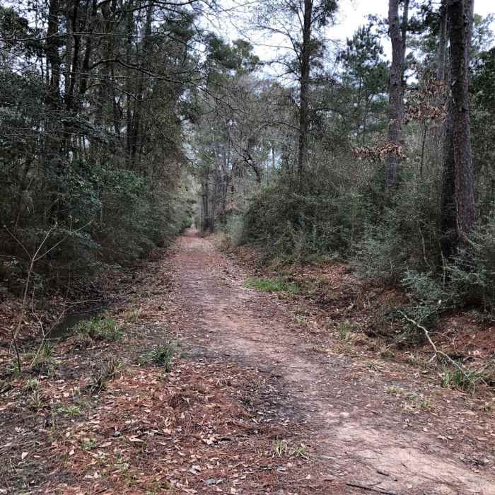
Looking west on Buckhorn from Jones Trail
Near Buckhorn Trail
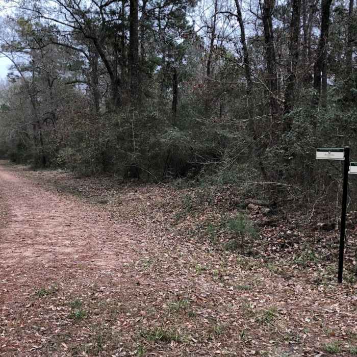
Looking east on Buckhorn Trail from Jones
Near Buckhorn Trail
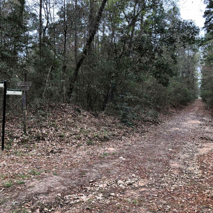
Looking south on Jones Trail from Buckhorn

Looking for more photos?

View All Photos
View Map
Driving Directions
Hike Trail
Buy Now View in 3D

Buckhorn Trail

4.0 (1 Rating)
0.9
mi
Distance
24
ft
Gain
easy
Difficulty

Route Details

Flatter
Steeper
0.86mi
Distance
24ft
Elevation Gain
0ft
Elevation Loss
5%
Max Grade
175ft
High Point
150ft
Low Point
Path Type
Point to Point
Description
This is a "working forest" that's used to test park and trail management techniques. It is open to the public to hike during daylight hours. It's mixed use horse and hike. Not sure if it's open to bikes. Some of the trails are singletrack, others are wide as a road and surfaced with crushed rock. There are a few small ponds scattered through the area and parts are prone to flooding, typical of trails in this area. It's not the most visually appealing forest but it's close to home for a quick afternoon hike, and the testing sites are kind of interesting.

Route Conditions

Report Conditions
No Condition Reports
Report Conditions

Nearby Hike Routes

Cypress Greenway Trail

Hike Route

Cypress Greenway Trail

Family Friendly
moderate
12.84 mi
+63 ft
Cypress Creek Trail

Hike Route

Cypress Creek Trail

Family Friendly
moderate
7.72 mi
+42 ft
Lake Houston Loop

Hike Route

Lake Houston Loop

Birding
moderate
9.93 mi
+61 ft
Yaupon Trail and Logger's Loop Trail

Hike Route

Yaupon Trail and Logger's Loop Trail

Wildlife
moderate
5.46 mi
+30 ft
Keith-Wiess Park Loop

Hike Route

Keith-Wiess Park Loop

Birding
easy
2.05 mi
+15 ft
Sam Houston North Wilderness Loop

Hike Route

Sam Houston North Wilderness Loop

River/Creek
moderate
7.59 mi
+256 ft
Contributors
Hiking Project Staff
