Ready to explore this trail?
View Trail Map in AppThis trailhead is typically open (free of snow) from late June (July or August on heavy snow pack years) to late October. About a mile along this trail you'll enter into the Mount Shasta Wilderness and all rules and regulations for wilderness use will apply. Avoid walking on the fragile meadows and practice Leave No Trace (LNT).
Path Type
Point to Point
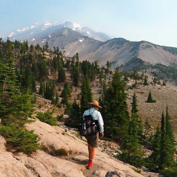
This trail is wide and clearly signed as it leaves the campground area. In 0.1 miles you'll pass a junction with a trail coming down from the Old Ski Bowl and Upper Panther Meadow. Shortly thereafter you'll cross Lower Panther Meadow with its lush vegetation and large views of Mount Shasta looming above. In 0.6 miles, you pass a junction with the Gray Butte Trail which leads to the summit of nearby Gray Butte. On a clear day this is a worthy side-trip if you want even bigger views of Mount Shasta.
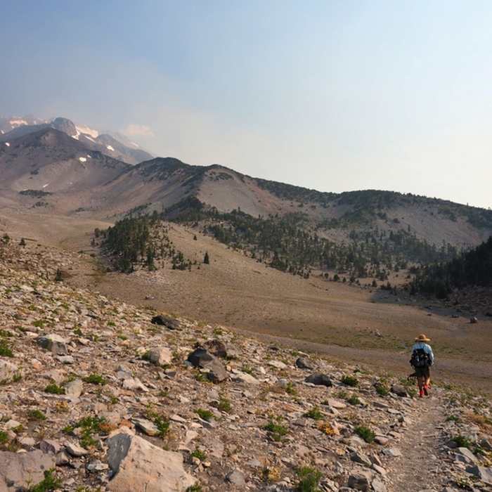
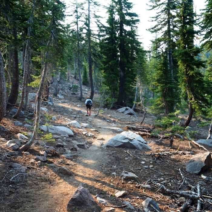
Past the Gray Butte Trail junction, the trail turns into the forest and climbs gently to the edge of the valley west of Red Butte. More views of Mount Shasta are available here. The trail descends briefly into the valley, crosses it, and ends at a junction, just short of The Gate, with the South Gate Meadows Trail which can be followed eastward to its namesake meadows.
The Panther Meadow Trail and the South Gate Meadows Trail can be combined to form a partial loop to and from South Gate Meadows.
No Condition Reports
Contributors

