Near Spruce Gap
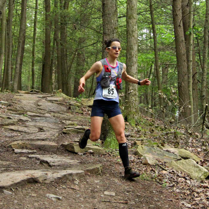
Bombing over the rocks at during the Rothrock Trail Race
Near Spruce Gap
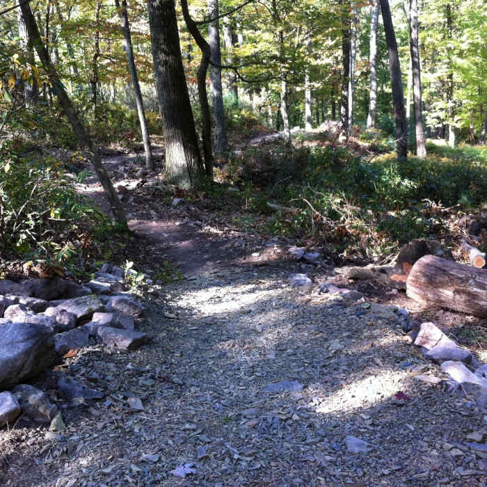
New entry (reroute) for lower Lonberger Path.
Near Spruce Gap
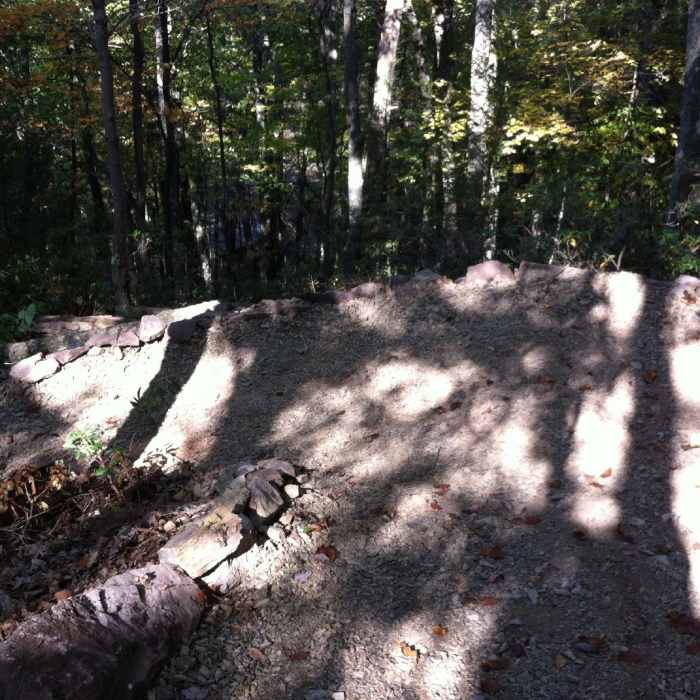
New rock walled switchbacks - enjoy!

Looking for more photos?

View All Photos
Driving Directions
Hike Trail

Spruce Gap

4.5 (4 Ratings)
A steep ascent on singletrack trail.
0.9
mi
Distance
854
ft
Gain
strenuous
Difficulty
Fall ColorsViews

Route Details

Flatter
Steeper
0.85mi
Distance
854ft
Elevation Gain
0ft
Elevation Loss
30%
Max Grade
2,412ft
High Point
1,557ft
Low Point
Path Type
Point to Point
Description
Park in the newly improved Galbraith parking lot. Cross the road and take the Carcas trail for a tenth of a mile. Cross the road again and start climbing on the Chute trail. At the first junction turn right and start heading uphill. After another 10th of a mile stay left and continue up Spruce Gap as it steepens. The trail is smooth overall with one very steep section that is rocky and rugged. After reaching the apex of the trail, you'll reach a T-intersection which signifies its end.

Route Conditions

Report Conditions
No Condition Reports
Report Conditions

Nearby Hike Routes

Bear Meadows/Mid State Trail Loop

Hike Route

Bear Meadows/Mid State Trail Loop

Fall Colors
strenuous
7.08 mi
+728 ft
Shingletown Loop

Hike Route

Shingletown Loop

River/Creek
moderate
5.35 mi
+830 ft
Musser/Shingletown Loop

Hike Route

Musser/Shingletown Loop

Fall Colors
strenuous
7.29 mi
+1,368 ft
Coopers Gap Loop

Hike Route

Coopers Gap Loop

Fall Colors
moderate
3.98 mi
+399 ft
Whipple Lake Trail

Hike Route

Whipple Lake Trail

Birding
moderate
2.18 mi
+143 ft
Jackson Trail - Mid State Trail Loop

Hike Route

Jackson Trail - Mid State Trail Loop

Views
strenuous
5.97 mi
+884 ft
Contributors
buckeeb Hart
