Ready to explore this trail?
View Trail Map in AppPath Type
Point to Point
Sid Knutson Puget Sound to Hood Canal Trail - 4 miles one way.
This is the premier hike through the Hansville Greenway. It is a key element of Sid Knutson's original vision for the Greenway. While it can be accomplished as an eight mile round trip, staging a vehicle at one end allows for a much more leisurely four mile hike. Blue signs on the trail numbered signposts mark the trail. Starting at Norwegian Point County Park , following are the highlights of the trail:
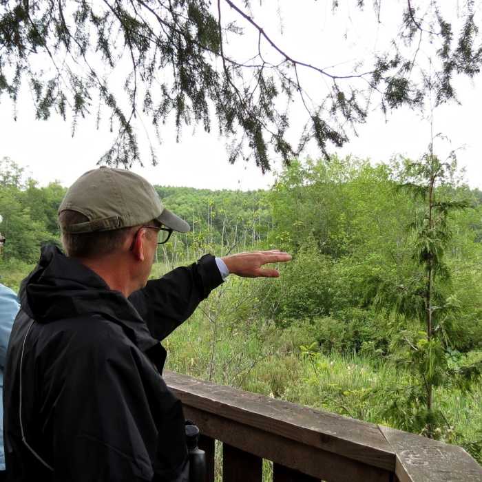
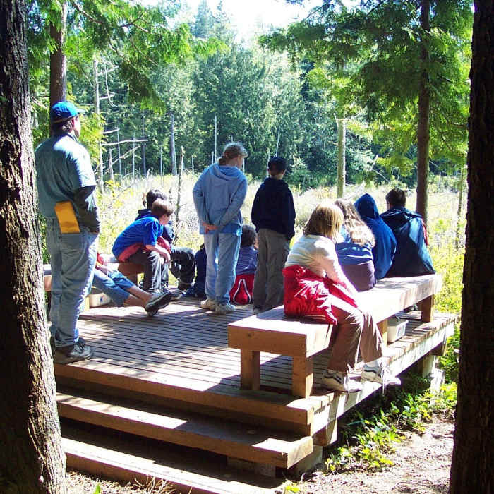
Alder Wetland Platform, Mile 0.5
Bear Meadow Vista trail, Mile 0.9 Signpost #8
Trail to Otter Meadow & Buck Lake Park (Restroom),Mile 1.5 Signpost #3
The trail through the meadow rejoins the Sid Knutson Trail at Signpost #4
Trail to Quiet Place & Upper Hawk's Pond, Mile 1.8 Signpost #5
Trail to Ponderosa Blvd road end in Shore Woods, Mile 2.2 Signpost #10
Trail to Lower Hawk's Pond View Platform, Mile 2.3 Signpost #13
Hawk's Hole Creek source, Mile 2.7 Signpost #14,
Trail to Spruce Drive in Shore Woods, Mile 2.9 Signpost #15,
Hawk's Hole Creek ravine, Mile 3.2
Hood Canal Drive, 3-car parking lot, Mile 4.0
Hood Canal Place road end beach, private beaches both sides, Mile 4.3
The trails are primarily unsurfaced and single lane. Portions are on old logging roads and logging railroad grades. Tree roots and rocks protrude above the surface in places. Most trails are open to pedestrian, mountain bike, and horses. However, horses are prohibited in some areas where the trail approaches ponds, lakes, or streams, or where the ground is too soft. The section of trail from Twin Spits Road, through the Alder Wetland is built to be wheel chair accessible, so is surfaced appropriately and has a section of boardwalk.
Trails within the Hansville Greenway are intended for passive recreation, including wildlife observation and walking, or riding. The Greenway is first, and foremost, a nature preserve and wildlife sanctuary. These off-road trails also serve to connect many of the communities in the Hansville area, but are not suitable for bikes other than mountain bikes.
No Condition Reports
Contributors

