Ready to explore this trail?
View Trail Map in AppState Park maps have Yards Creek property marked as private property, and it is restricted.
Path Type
Point to Point
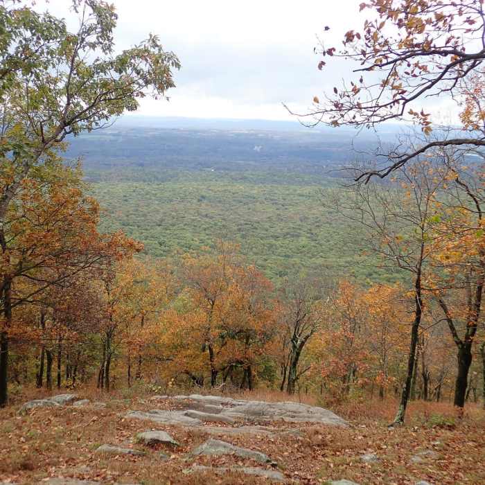
The trail starts at the high-point of the Blue Dot Trail on the Kittatinny Ridge and travels northeast along the edge of the ridge with views (between the trees) into the valley and farmland below. The best view on this trail is right at the start, at the junction with the Blue Dot Trail--hike south down the ridge about 50 feet to a rock outcropping.
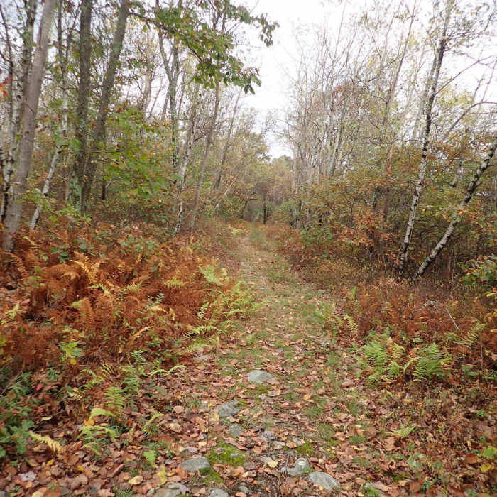
From the start, the trail heads northeast, paralleling the Appalachian Trail. As a reasonably level old road through the woods, it is a well defined path, but can be narrow at times.
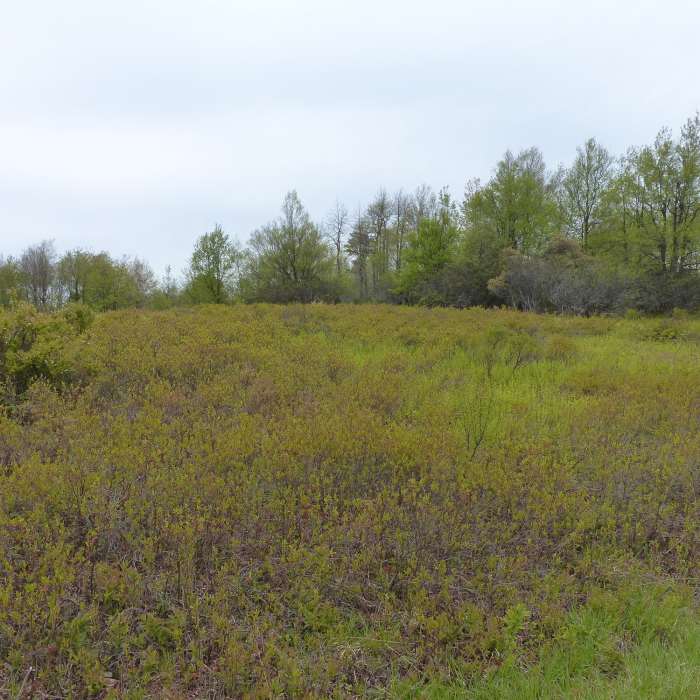
About halfway along the trail, you'll see an open field which is the site of a Heliport used by the fire service. After about 3.0 miles, the road intersects with the Turquoise Trail which cuts through a valley and past Sunfish Pond to connect with the AT. Currently the trail is crossed with down logs at the intersection with the Turquoise Trail (though they may not remain), so be on the lookout for the Turquoise Trail intersection. The Mt. Tammany Fire Road continues to the Yards Creek Reservoir which is private property. If you continue past the Turquoise Trail, you'll have to turn around at the boundary and retrace your steps.
Note: Where the trail starts at the top of the ridge, the Blue Dot Trail turns south to the Mt. Tammany Overlook, a short distance away, with great views of the Delaware Water Gap.
No Condition Reports
Appalachian Trail - Fox Gap to Columbia Gas Pipeline
Appalachian Trail - Fox Gap to Columbia Gas Pipeline
Contributors

