Near Blue Trail
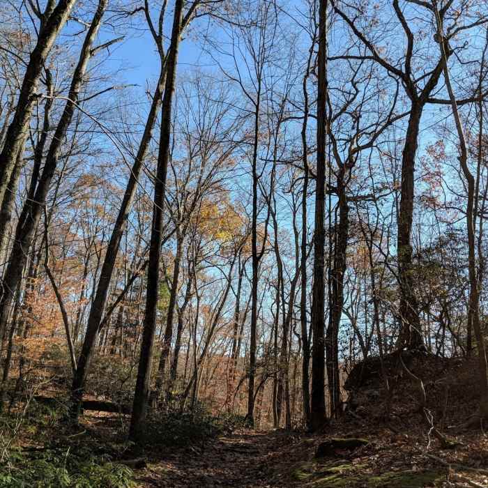
Mainly flat trail, some parts are gravel paved

Looking for more photos?

View All Photos
Driving Directions
Hike Trail

Blue Trail

3.7 (6 Ratings)
The blue trail ascends from Kimberly Bridge parking area to the highest point in the park.
3.9
mi
Distance
632
ft
Gain
moderate
Difficulty
BirdingFall ColorsViewsWaterfallWildlife

Route Details

Flatter
Steeper
3.86mi
Distance
632ft
Elevation Gain
636ft
Elevation Loss
30%
Max Grade
867ft
High Point
398ft
Low Point
Path Type
Loop
Description
The Blue trail is a 4-mile loop that heads up to the highest point in the park, the site of the old fire tower (removed 1982). The back side (southern part) of the trail is a rock scramble. The rest of the trail is either single or doubletrack. Lots of boulders to either side of the trail and some of the old "Ridge Pounds" that give the town of Pound Ridge its name.

Route Conditions

Report Conditions
No Condition Reports
Report Conditions

Nearby Hike Routes

Rock Trail (RT) Loop

Hike Route

Rock Trail (RT) Loop

Birding
strenuous
6.62 mi
+1,319 ft
Armstrong and Richards Preserves

Hike Route

Armstrong and Richards Preserves

easy
2.55 mi
+466 ft
Mianus River Gorge Preserve

Hike Route

Mianus River Gorge Preserve

moderate
4.53 mi
+591 ft
Zofnass Preserve Perimeter

Hike Route

Zofnass Preserve Perimeter

Fall Colors
strenuous
5.53 mi
+701 ft
Pine Mountain

Hike Route

Pine Mountain

Birding
moderate
3.97 mi
+833 ft
Hemlock Hills

Hike Route

Hemlock Hills

Fall Colors
moderate
2.15 mi
+370 ft
Contributors
Rob Cummings
