Near Willow Springs Trail
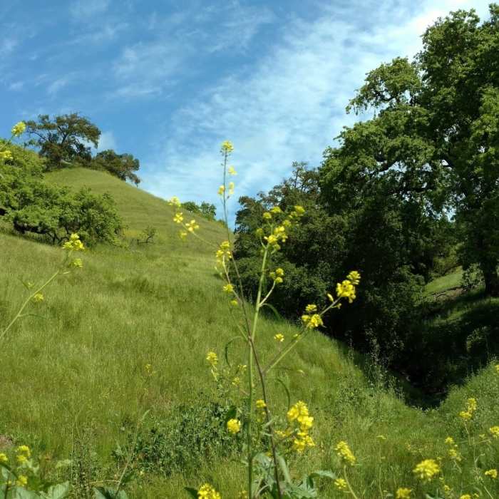
A small creek cuts through the grass hills along Willow Springs Trail.
Near Willow Springs Trail
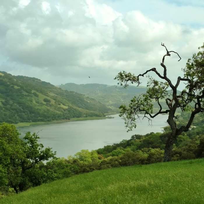
Coyote Lake and the hills east of the lake are seen from high on Coyote Ridge Trail.
Near Willow Springs Trail
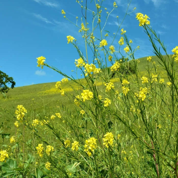
Mustard blooms in the spring along Willow Springs Trail.
Near Willow Springs Trail
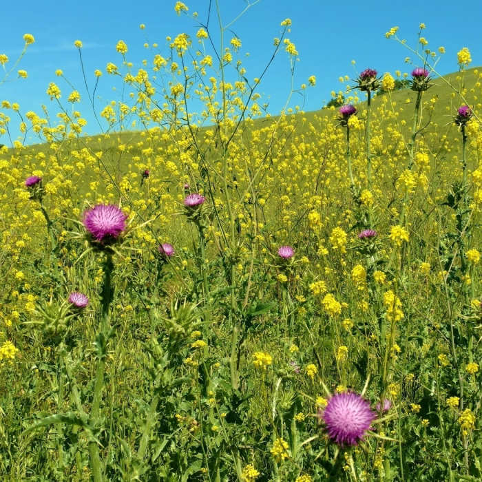
Purple milk thistle amid the yellow mustard along Rancho San Ysidro Trail in late April.
Near Willow Springs Trail
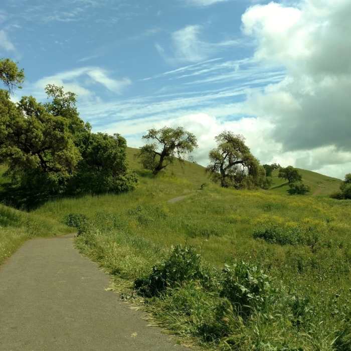
Willow Springs Trail heads into the oak-studded grass hills of Coyote Lake - Harvey Bear Ranch County Park.

Looking for more photos?

View All Photos
Driving Directions
Hike Trail

Willow Springs Trail

3.5 (2 Ratings)
This is a trail that gradually climbs a ridge as it winds through rolling grass hills studded with oak trees.
1.7
mi
Distance
735
ft
Gain
moderate
Difficulty
BirdingLakeViewsWildflowersWildlife
Access Issues
This is open 8 a.m. to sunset.

Route Details

Flatter
Steeper
1.74mi
Distance
735ft
Elevation Gain
17ft
Elevation Loss
40%
Max Grade
1,078ft
High Point
360ft
Low Point
Path Type
Point to Point
Description
The Willow Springs Trail trailhead can be found on San Martin Avenue at the Harvey Bear Ranch Entrance to Coyote Lake - Harvey Bear Ranch County Park. Willow Springs Trail climbs gradually and continually as it winds its way through rolling grass hills studded with oak trees. It heads towards Coyote Lake, which comes into view at the very end after a final climb. The golden grasses of summer and autumn become bright green with patches of yellow mustard in the winter and spring when the rains come. Several trail junctions are passed along the way: a cutoff to Martin Murphy Trail at mile 0.15, Harvey Bear Trail at mile 0.4, Townsprings Trail at mile 1.0, and Rancho San Ysidro Trail at mile 1.1. There are expansive views of the pristine grass hills looking north, northeast, east, and southeast. Looking behind (south, southwest, west, and northwest), are equally expansive views of rural southern Santa Clara Valley, and the forested, dark green Santa Cruz Mountains in the far distance to the southwest and west. If one looks carefully, they can pick out Mt. Umunhum in the Santa Cruz Mountains.

Route Conditions

Report Conditions
No Condition Reports
Report Conditions

Nearby Hike Routes

Harvey Bear Ranch Hike

Hike Route

Harvey Bear Ranch Hike

Birding
moderate
10.54 mi
+1,534 ft
Coyote Lake and Ridge Hike

Hike Route

Coyote Lake and Ridge Hike

Birding
moderate
6.57 mi
+864 ft
Lakeview + Grey Pines Loop, Rosendin Park

Hike Route

Lakeview + Grey Pines Loop, Rosendin Park

Lake
easy
1.32 mi
+258 ft
Coyote Creek Loop at Coe Park

Hike Route

Coyote Creek Loop at Coe Park

Birding
strenuous
8.23 mi
+1,901 ft
Serpentine Trail

Hike Route

Serpentine Trail

Dogs Allowed
easy
0.62 mi
+234 ft
Henry Coe (Jackson Field, Wasno Ridge, Bowl Trail)

Hike Route

Henry Coe (Jackson Field, Wasno Ridge, Bowl Trail)

Birding
strenuous
15.67 mi
+2,954 ft
Contributors
Joan Pendleton
