Near Short Draw
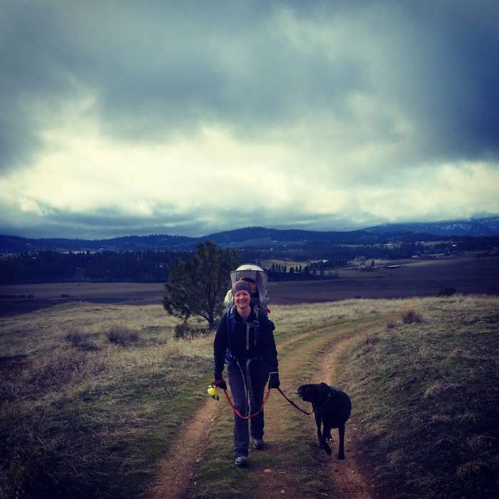
Wintertime hiking.
Near Short Draw
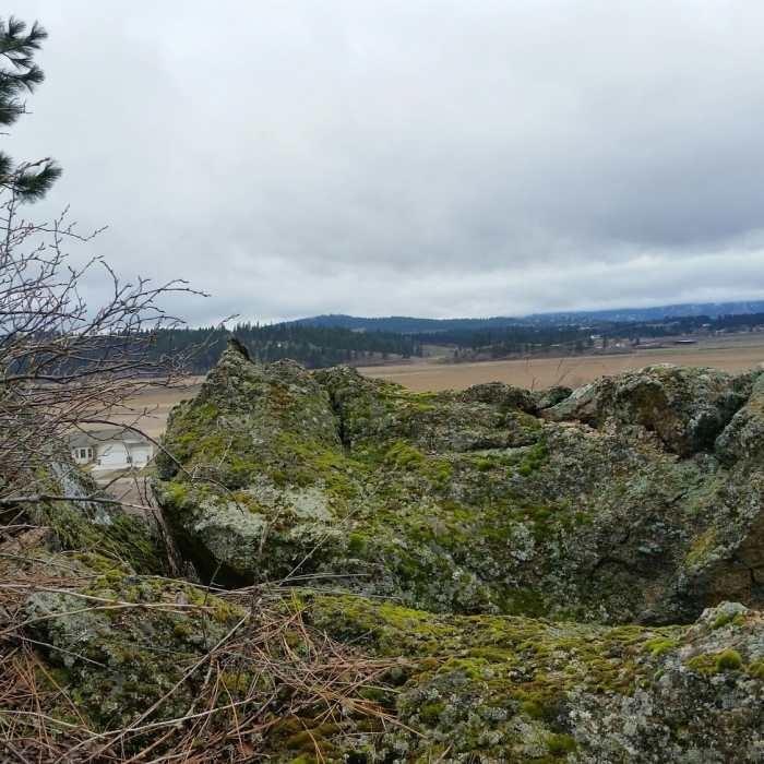
The long sky from Short Draw.
Near Short Draw
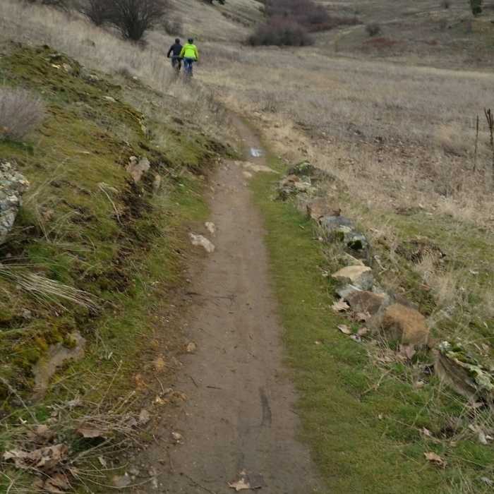
Spring recreation in on the Uplands Loop near the Saltese Uplands Conservation Area.
Near Short Draw
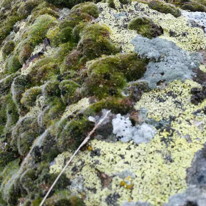
Mosses and lichens are perfect examples of high desert ecology, and can be seen on the Short Draw Trail.

Looking for more photos?

View All Photos
View Map
Driving Directions
Hike Trail
Buy Now View in 3D

Short Draw

3.0 (1 Rating)
This trail moves uphill through a draw connecting the south and north traverses of the Uplands Loop.
0.6
mi
Distance
251
ft
Gain
moderate
Difficulty
BirdingViewsWildflowers

Route Details

Flatter
Steeper
0.64mi
Distance
251ft
Elevation Gain
0ft
Elevation Loss
30%
Max Grade
2,332ft
High Point
2,081ft
Low Point
Path Type
Point to Point
Description
Short Draw is a straightforward singletrack that connects on both ends with the Uplands Loop. Sign posts at either end of the trail mark the cutoff points to the trail, and while there are a number of lesser used social trails that connect with Short Draw, it is fairly easy to follow the well-maintained tread northeast (or southwest) to reconnect with the Uplands Loop. While the bottom of this trail (southern end) is rocky and relatively dry, as you move uphill, you'll go through some marshy/wet areas due to underground springs. The hills rise up on either side of the draw and the Saltese Flats are visible through the entirety of this trail. The northern end of the draw connects just to the east of the Summit Loop trail.

Route Conditions

Report Conditions
No Condition Reports
Report Conditions

Nearby Hike Routes

Mica Peak to Liberty Lake: Highline Connector

Hike Route

Mica Peak to Liberty Lake: Highline Connector

Birding
strenuous
10.96 mi
+2,129 ft
Antoine Peak Summit Trail Out & Back

Hike Route

Antoine Peak Summit Trail Out & Back

Birding
moderate
3.53 mi
+731 ft
Antoine's and Canfield summit gulch

Hike Route

Antoine's and Canfield summit gulch

Lake
moderate
9.95 mi
+1,949 ft
Iller Creek & Rocks Of Sharon Loop

Hike Route

Iller Creek & Rocks Of Sharon Loop

Birding
moderate
4.84 mi
+1,238 ft
Best of the Dishman Hills Natural Area

Hike Route

Best of the Dishman Hills Natural Area

Birding
moderate
4.17 mi
+682 ft
Dishman Hills Loop

Hike Route

Dishman Hills Loop

Dogs Allowed
moderate
2.24 mi
+302 ft
Contributors
Carol Christensen
