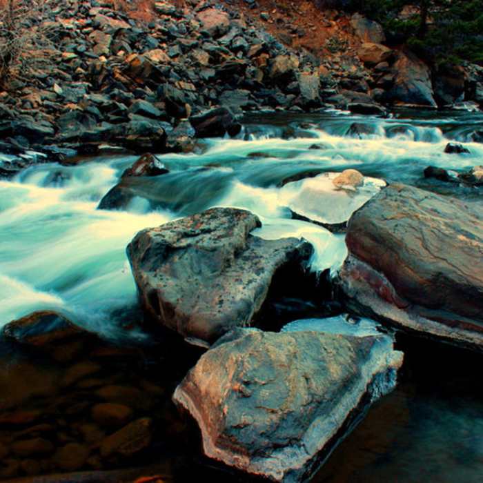
Near Mustang Trail
A pleasant creek with interestingly colored rocks.

Looking for more photos?

View All Photos
View Map
Driving Directions
Hike Trail

Mustang Trail

4.0 (6 Ratings)
An excellent descending section of singletrack trail in White Ranch Park.
2.3
mi
Distance
238
ft
Gain
strenuous
Difficulty
Views

Route Details

Flatter
Steeper
2.34mi
Distance
238ft
Elevation Gain
857ft
Elevation Loss
35%
Max Grade
7,880ft
High Point
7,181ft
Low Point
Path Type
Point to Point
Description
This trail can be taken in either direction and makes for a great alternative to the Belcher Hill trail. From the upper starting point to the intersection with Sawmill Trail, Mustang is rocky and rooty with water bars. Loose over hardpack with tight switchbacks, water bars, and some planked sections make for varied hiking conditions. After the sawmill trail intersection to the first climb, the trail is more of the same. From the first climb back to Belcher Hill, the trail undulates continually with some steep and loose sections.

Route Conditions

Report Conditions
No Condition Reports
Report Conditions

Nearby Hike Routes

Shorthorn - Longhorn Loop

Hike Route

Shorthorn - Longhorn Loop

Fall Colors
moderate
6.78 mi
+1,265 ft
Mt. Galbraith Park Loop

Hike Route

Mt. Galbraith Park Loop

River/Creek
moderate
4.2 mi
+920 ft
North Table Loop Trail

Hike Route

North Table Loop Trail

Birding
moderate
7.37 mi
+1,030 ft
North Table Mountain - Short Loop

Hike Route

North Table Mountain - Short Loop

Dogs Allowed
moderate
3.16 mi
+534 ft
Mountain Lion Trail

Hike Route

Mountain Lion Trail

Birding
moderate
6.69 mi
+1,599 ft
Nightbird Gulch/Galbraith Loop

Hike Route

Nightbird Gulch/Galbraith Loop

Birding
moderate
4.99 mi
+1,276 ft
Contributors
Ben Pontecorvo
