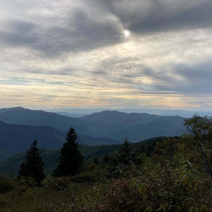
Ready to explore this trail?
View Trail Map in AppBowlens Creek Trailhead sits on a private, unpaved road (Watershed Drive) requiring high-clearance or a walk-in from limited pullouts; a paid, honor-system lot is available nearby at Stanley Trail. Mount Mitchell State Park, at the trail's opposite end, is open 7:00 AM to 9:00 PM year-round with no entrance fee, though summit parking fills by mid-morning on weekends.
Path Type
There and Back
This route starts and ends at Bowlens Creek Trailhead, covering about 23.2 miles round trip with roughly 7,704 vertical feet of gain.
From the trailhead, climb steadily for four miles and about 3,000 vertical feet to a meadow just below Celo Knob — a sustained stamina crux with no scrambling or exposure.
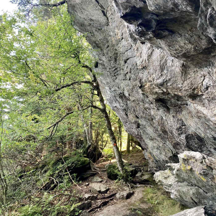
Crux: Continue south along the crest across Gibbs Mountain to Winter Star Mountain, where near-vertical rock assisted by fixed ropes narrows to a track hugging cliff edges above drop-offs on both sides — the route's primary technical section. The trail then climbs the north face of Big Tom, a shorter section of similar fixed-rope, hands-on scrambling, before reaching Potato Hill, a steep, rope-free ascent where several stretches narrow to a single boot-width beside sheer drop-offs and the rock turns slick underfoot.
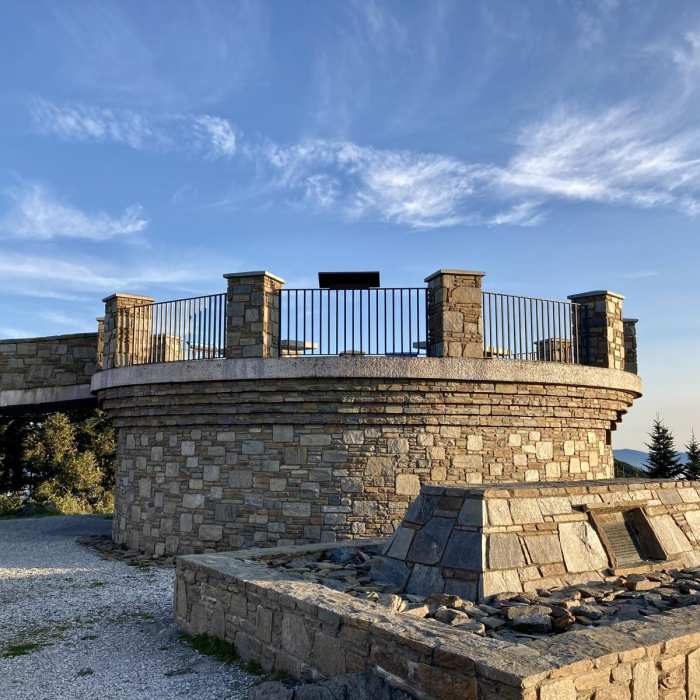
Continue over Deer Mountain to Deep Gap at mile eight, the only reliable water source and legal camping spot on the route. From Deep Gap, climb toward Mount Mitchell's summit; an easier, more developed trail section and picnic tables signal the approach to the parking area.
Return by retracing the same crest trail to Bowlens Creek, recrossing the Big Tom, Winter Star–Gibbs, and Potato Hill cruxes in reverse — footing on the Potato Hill descent is the greater hazard of the two directions.
Water is scarce outside Deep Gap's small spring, and afternoon thunderstorms build quickly along the exposed ridge; plan to be off the high points by early afternoon.
No Condition Reports
Old Mitchell Trail
Old Mitchell Trail
Blackstock Knob
Blackstock Knob
Mount Mitchell
Mount Mitchell
Bald Mountain Creek Preserve Outer Loop
Bald Mountain Creek Preserve Outer Loop
Pinnacle Hike at Craggy Gardens
Pinnacle Hike at Craggy Gardens
Craggy Gardens
Craggy Gardens
Contributors

