Ready to explore this trail?
View Trail Map in AppNo permit is required. There is no overnight parking at the trailhead; overnight visitors must park farther down South Toe River Road. Commissary Ridge dispersed camping, about four miles in, is temporarily closed per current USFS alerts.
Path Type
There and Back
This route starts and ends at Old Mitchell Trailhead, covering about 3.9 mi miles round trip with roughly 1,155 vertical feet of gain.
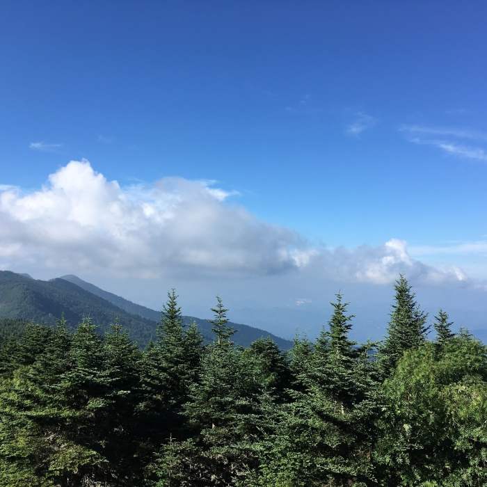
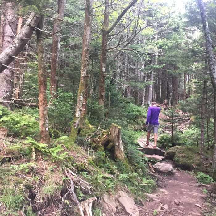
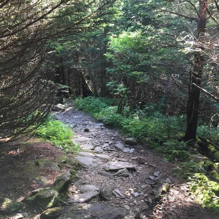
From the trailhead, follow the Old Mitchell Trail (Trail #190) as it climbs steadily along multiple ridgelines, marked by blue blazes — stay alert for them at junctions, since missing one can lead onto an adjoining horse or connector trail. Around 1.2 miles, the trail passes a dispersed camping field near a stream, and near 1.5 miles it climbs into Commissary Ridge. Above 4,500 feet the trail enters stands of red spruce and Fraser fir. The climb continues, rocky and rooty in places, to the top of the Old Mitchell Trail, where the route bears left onto the Mount Mitchell Summit Trail for the final approach to the summit and its observation deck.
Return by retracing the Old Mitchell Trail to the trailhead; the descent is steep and, per multiple trip reports, harder on the knees than the climb up.
No Condition Reports
Blackstock Knob
Blackstock Knob
Mount Mitchell
Mount Mitchell
Mount Mitchell Vert Marathon
Mount Mitchell Vert Marathon
Graybeard/Harry Bryan/Julia Woodward Loop
Graybeard/Harry Bryan/Julia Woodward Loop
Pinnacle Hike at Craggy Gardens
Pinnacle Hike at Craggy Gardens
Craggy Gardens
Craggy Gardens
Contributors

