Ready to explore this trail?
View Trail Map in AppRegional Classic
A must do route for the area handpicked by local experts.
No fee or permit is required to hike. The trail's lower section, between Commissary Ridge and the Black Mountain Campground trailhead, has been closed for extended periods following Hurricane Helene damage — confirm current status before hiking.
Path Type
There and Back
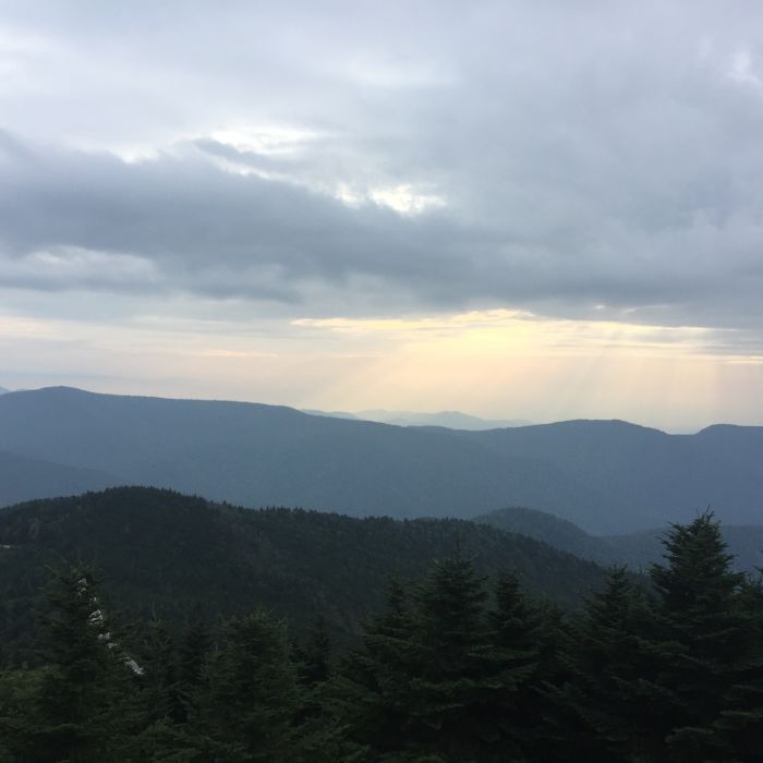
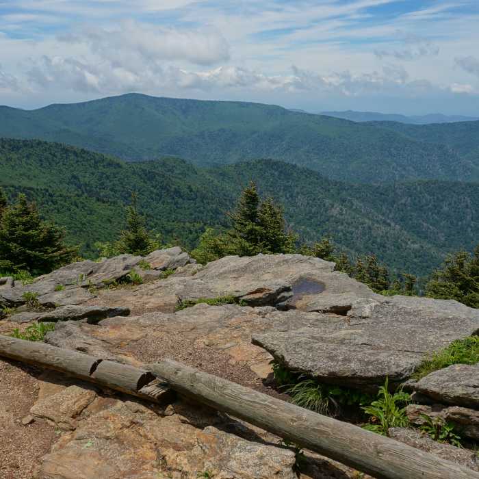
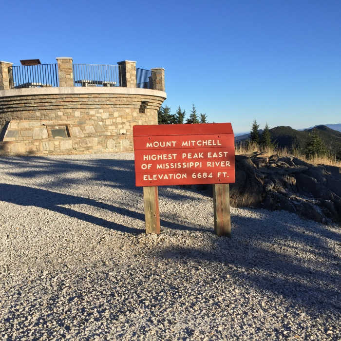
This route starts and ends at the Mount Mitchell Trailhead across from Black Mountain Campground on South Toe River Road and reaches the summit of Mount Mitchell (6,684'), the highest point east of the Mississippi River, for a round trip of about 11.6 miles.
From the parking area, cross the bridge into the campground and bear left, following the dirt road toward the marked trailhead. About 0.2 miles in, turn right onto the Mount Mitchell Trail and begin climbing. At 1.5 miles, the grade eases briefly at Long Arm Ridge. At 1.8 miles, the Higgins Bald Trail joins from the left; keep right to stay on the Mount Mitchell Trail. The Higgins Bald Trail rejoins a mile later — continue straight. Approaching Commissary Hill, the Buncombe Horse Range Trail joins from the right; keep straight, then bear right shortly after to continue climbing. The route crosses from Pisgah National Forest into Mount Mitchell State Park. Near the summit, the Balsam Nature Trail splits off to the right; continue straight. At the paved summit path, turn hard left for the final approach to the observation platform.
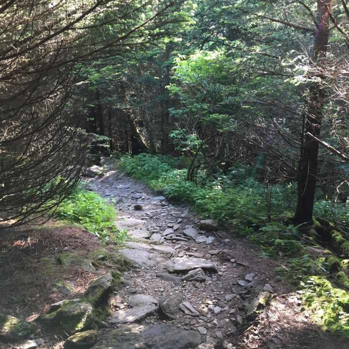
Return by retracing the same route, a sustained, rocky descent for its full length.
No Condition Reports
Old Mitchell Trail
Old Mitchell Trail
Mount Mitchell Vert Marathon
Mount Mitchell Vert Marathon
Blackstock Knob
Blackstock Knob
Gateway Trails
Gateway Trails
Graybeard/Harry Bryan/Julia Woodward Loop
Graybeard/Harry Bryan/Julia Woodward Loop
Lookout Mountain
Lookout Mountain
Contributors

