Ready to explore this trail?
View Trail Map in AppPath Type
Point to Point
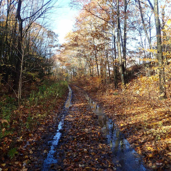
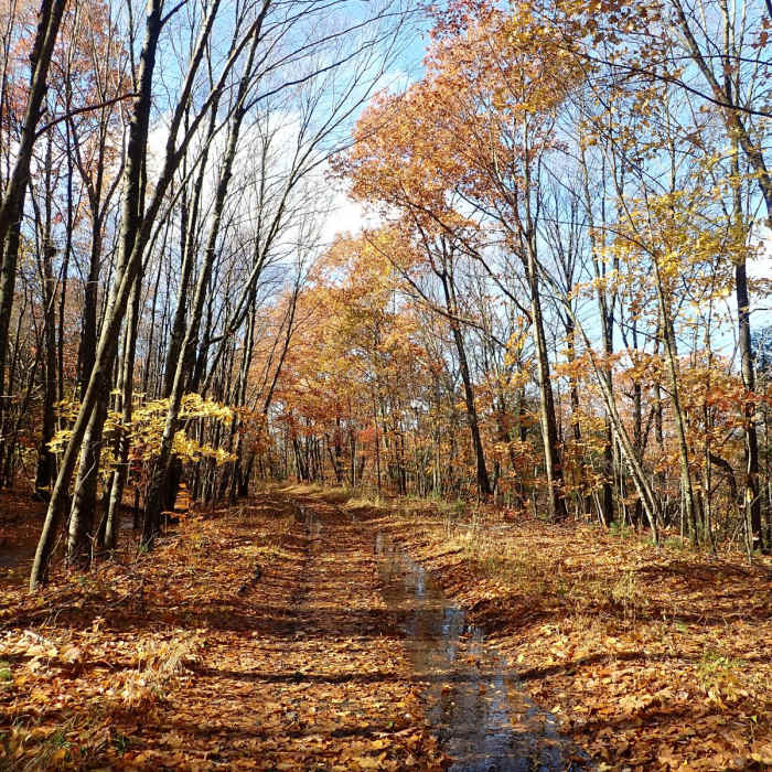
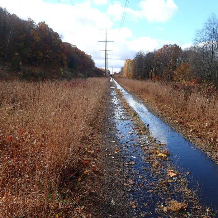
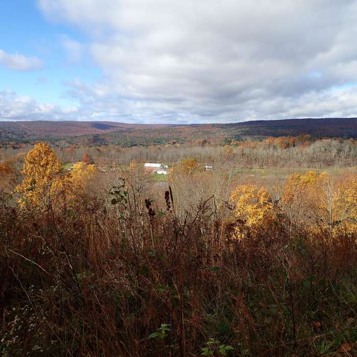
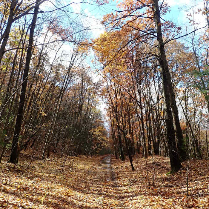
This section of the Shawangunk Ridge Trail follows a rail trail from Shin Hollow Road to Route 211. This 5-mile section is flat and often is very wet, especially after rainfall. The section is wide and at times follows a power line. Through that part of the trail hikers will have the only viewpoint looking west. When hiking from south to north, park at the end of Shin Hollow Road. Cross an old abandoned bridge and drop down onto the Metro North rail line. Graham Mountain State Forest is very small, and this section only passes through 0.3 miles of it. The remainder of this section is open private land; to the north is Gobblers Knob State Forest and to the south is Huckleberry Ridge State Forest.
No Condition Reports
Lenape Ridge Loop
Lenape Ridge Loop
Shawangunk Ridge Trail: Huckleberry Ridge Section
Shawangunk Ridge Trail: Huckleberry Ridge Section
Lenape Ridge Trail
Lenape Ridge Trail
Monument Trail
Monument Trail
Shawangunk Ridge Trail: Gobblers Knob Section
Shawangunk Ridge Trail: Gobblers Knob Section
High Point Monument Trail
High Point Monument Trail
Contributors

