Ready to explore this trail?
View Trail Map in AppPath Type
Point to Point
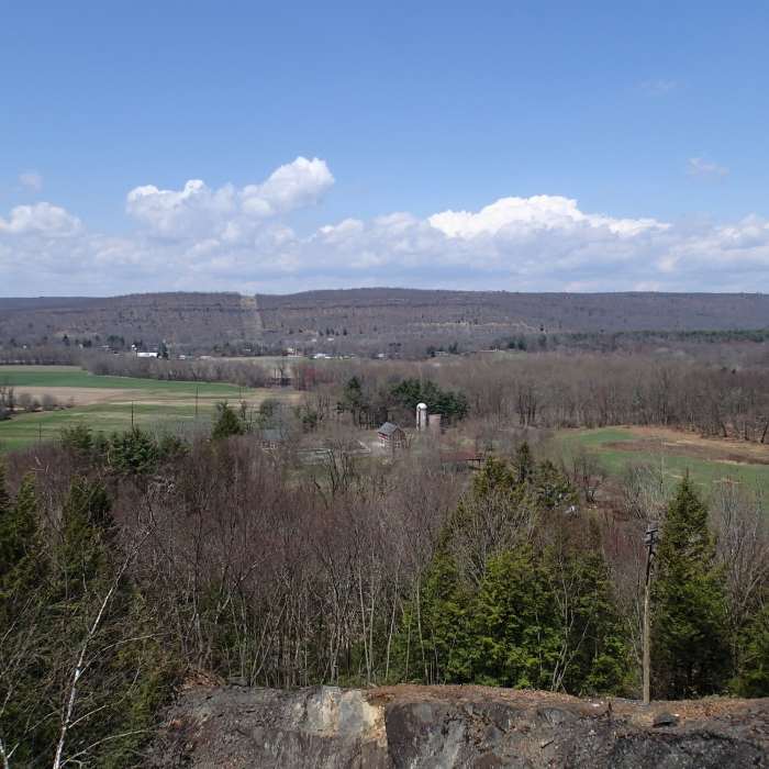
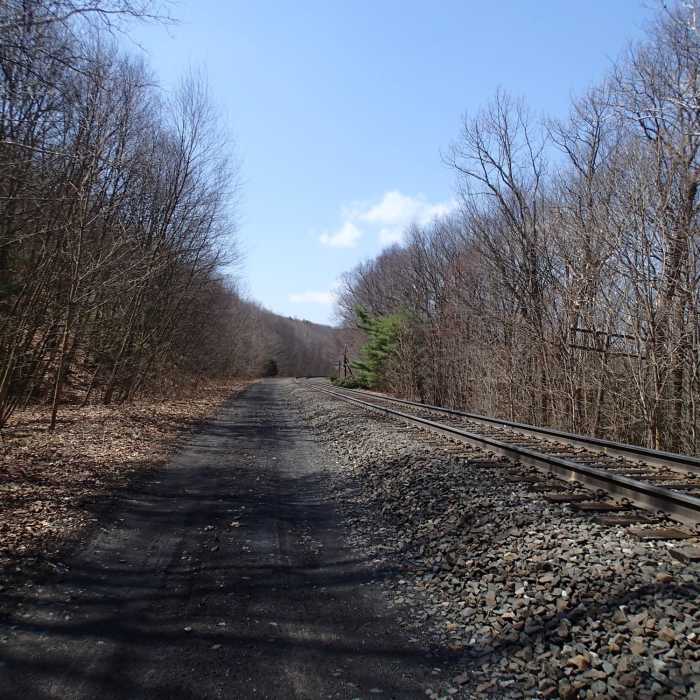
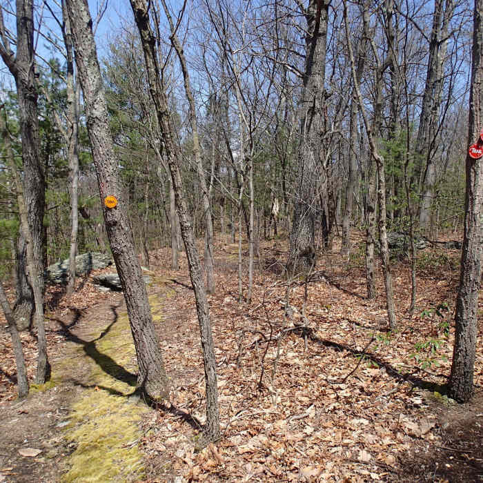
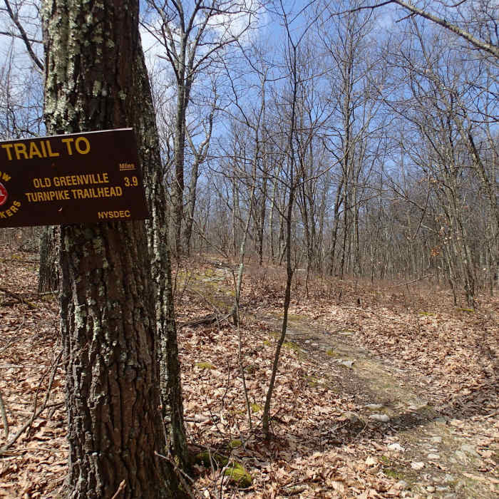
The Lenape Ridge Trail is located in Huckleberry Ridge State Forest just outside Port Jervis, NY. It is a small park with few visitors. The Lenape Ridge Trail is the highlight of the park. From a small dirt parking lot, the trail starts out with the Minikink Trail (yellow disc markers) and the Lenape Ridge Trail (red disc markers) sharing the same path for a short distance. The Lenape Ridge Trail turns right and begins to ascend the ridge.
The trail follows the ridge for nearly two miles to a good view point overlooking farmland to the north. Along the way there are several good view points to the south. The Lenape Ridge trail meets up with the Minisink Trail after this point, and descends for .5 miles. The Minisink trail breaks off to the right and the Lenape Ridge trail begins to ascend 2.2 miles with some steep and rocky sections. The Ridge trail ends when it reaches the Shawangunk Ridge Trail, Turn right and in a short ditance you reach a large dirt parking area near Hawthorne Lake where your shuttle car is located.
No Condition Reports
Lenape Ridge Loop
Lenape Ridge Loop
Shawangunk Ridge Trail: Huckleberry Ridge Section
Shawangunk Ridge Trail: Huckleberry Ridge Section
Shawangunk Ridge Trail: Graham Mountain Section
Shawangunk Ridge Trail: Graham Mountain Section
Monument Trail
Monument Trail
High Point Monument Trail
High Point Monument Trail
High Point State Park Highlights
High Point State Park Highlights
Contributors

