
Ready to explore this trail?
View Trail Map in AppRegional Classic
A must do route for the area handpicked by local experts.
The Appalachian Trail Hiker Parking lot is free year-round. A day-use fee applies to enter the main park area (including the monument grounds) from Memorial Day through Labor Day.
Path Type
There and Back
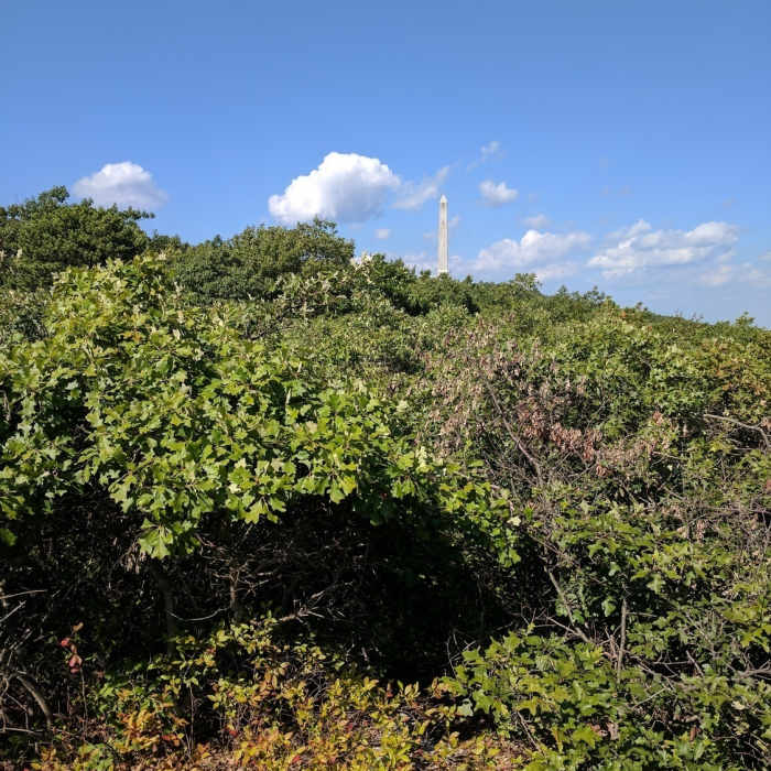
This route starts and ends at the Appalachian Trail Hiker Parking lot on Route 23 and reaches the High Point Monument (1,803'), the highest point in New Jersey, for a round trip of about 3.8 miles.
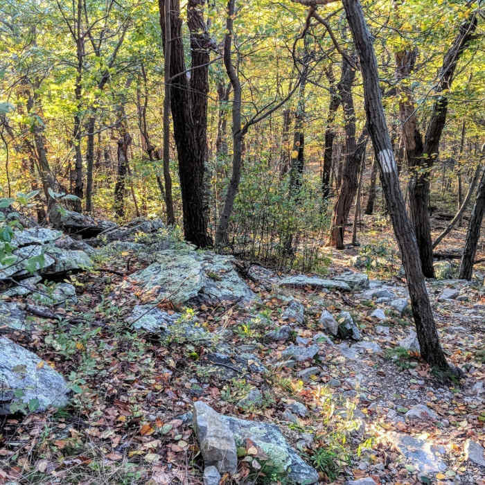
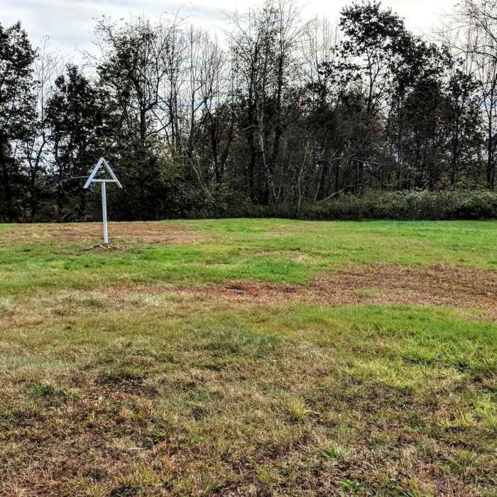
From the parking lot, follow the blue-blazed Connector Trail, turning right at 0.2 miles to continue on the co-joined Connector and Iris trails. At 0.3 miles, turn right onto the white-blazed Appalachian Trail heading north, crossing the park road and a grassy strip before re-entering the woods. The trail climbs steadily, then steeply, over large rock slabs and smaller loose rock. At 1 mile, a raised observation platform offers panoramic views east into the Wallkill River Valley and west into Pennsylvania. Continue on the Appalachian Trail past a second viewpoint; at 1.3 miles leave the Appalachian Trail and continue straight onto the red-and-green-blazed Monument Trail, which climbs steeply, crossing the park road again, to the High Point Monument at 1.9 miles.
Return by retracing the same route back to the Appalachian Trail Hiker Parking lot.
The monument was built through the generosity of the Kusers, in honor of all war veterans. Construction started in 1928 and was completed in 1930. The structure is 220 feet high and from the top, there are views of the Pocono Mountains to the west, the Catskills to the north, and the Wallkill River Valley to the southeast.
All Clear
Looking for more condition reports?
High Point State Park Highlights
High Point State Park Highlights
Appalachian - Iris Trail Loop
Appalachian - Iris Trail Loop
Monument Trail
Monument Trail
Lenape Ridge Trail
Lenape Ridge Trail
Appalachian Trail - Stokes S.F. North
Appalachian Trail - Stokes S.F. North
Shawangunk Ridge Trail: Huckleberry Ridge Section
Shawangunk Ridge Trail: Huckleberry Ridge Section
Contributors

