Ready to explore this trail?
View Trail Map in AppRegional Classic
A must do route for the area handpicked by local experts.
The Seward herd path is unmarked and rugged; navigation skills are required. Coreys Road's final 3 miles are seasonal, typically open late May through late October or November.
Path Type
There and Back
This route starts at the Coreys Road parking area and ends at the same lot after reaching the Seward Mountain summit.
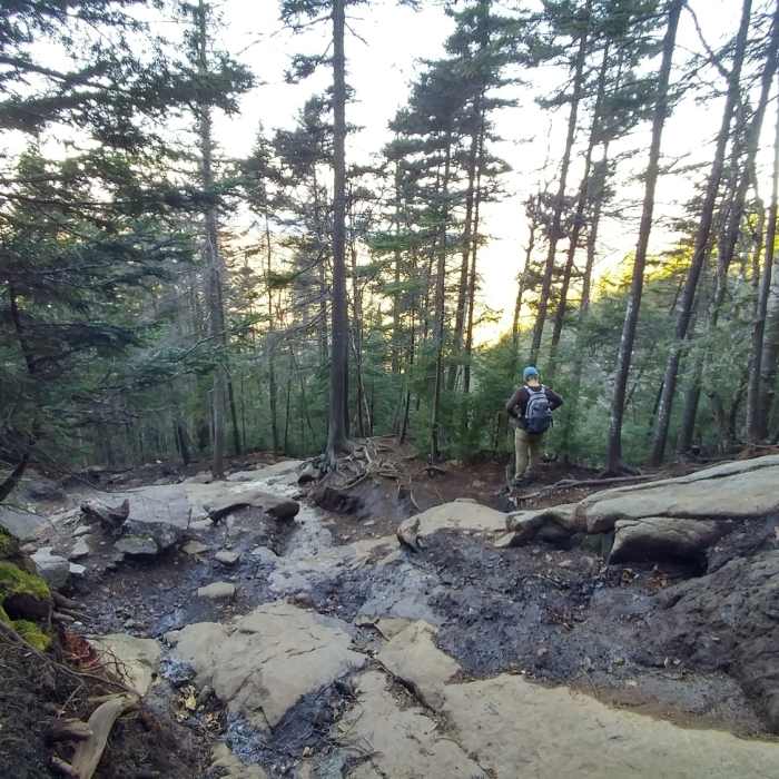
Sign the register and follow the Blueberry Trail on the hiking trail marked with red DEC markers; the horse trail runs parallel and is wetter. At 1.2 miles, a trail joins from the right toward Shattuck Clearing and Calkins Brook; stay straight. The trail crosses several brooks, including a large one at 3.5 miles. At 4.8 miles, the Blueberry Lean-to comes into view. Just beyond it, the trail joins the Ward Brook Truck Trail; turn right. The horse trail crosses at 5 miles. At the next brook, a cairn and bridge mark the start of the Seward herd path. This is the navigation crux: there are no trail markers from here. Stay on the herd path through the first 0.5 miles, where traces of an old tote road can mislead. The steep, eroded climb begins after that. Bypass the cliff on the left, then follow the ridge southwest to the summit sign, about 7 miles from the parking area. The final mile includes boulder scrambling, and the trail is easy to lose on the descent.
The route is about 14 miles round trip with roughly 3,000 vertical feet of gain. Retrace your steps, using care on the eroded descent.
No Condition Reports
Mount Emmons via Donaldson Mountain
Mount Emmons via Donaldson Mountain
Donaldson Mountain
Donaldson Mountain
Seymour Mountain
Seymour Mountain
Deer Pond Out-and-Back
Deer Pond Out-and-Back
Sawtooth #2
Sawtooth #2
Sawtooth #1
Sawtooth #1
Contributors

