Ready to explore this trail?
View Trail Map in AppRegional Classic
A must do route for the area handpicked by local experts.
No permits or fees are required for day use, but all visitors must sign the trailhead register at Averyville Road. Wilderness Regulations apply within the High Peaks Wilderness.
Path Type
There and Back
The bushwhacking route begins and ends at the Pine Pond Trailhead after reaching the summit of Sawtooth #2. Advanced route-finding and navigation skills are required for the off-trail section.
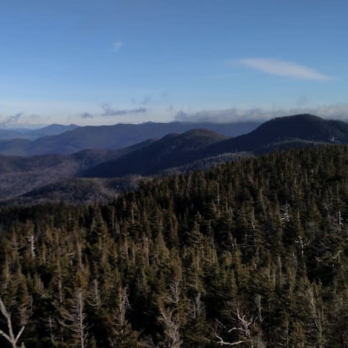
From the trailhead, head south-southwest on the Pine Pond Trail. Follow this trail for approximately 2.3 miles, breaking off the trail to the left to begin a rugged cross-country bushwhack. Cross over Cold Brook and follow the drainage as it climbs to the south through dense spruce-fir forest and blowdown. Climb approximately 1,400 vertical feet along the rugged ridge to reach the wooded summit of Sawtooth #2.
Retrace your steps, bushwhacking to the northeast to intercept the Pine Pond Trail. Follow the Pine Pond Trail east back to the trailhead.
No Condition Reports
Sawtooth #1
Sawtooth #1
McKenzie Mountain & Haystack Mountain
McKenzie Mountain & Haystack Mountain
Haystack Mountain via Jackrabbit Ski and North Haystack Trails
Haystack Mountain via Jackrabbit Ski and North Haystack Trails
Moose Mountain
Moose Mountain
McKenzie Mountain
McKenzie Mountain
Cobble Hill
Cobble Hill
Contributors

