Ready to explore this trail?
View Trail Map in AppRegional Classic
A must do route for the area handpicked by local experts.
Day hiking does not require a fee or permit, but registration is mandatory at the trailhead kiosk. Parking along NY-73 across from Chapel Pond is limited to designated pull-offs, which fill early on weekends; parking on the pavement or outside designated areas is strictly prohibited and subject to ticketing and towing. Wilderness regulations apply within the Giant Mountain Wilderness.
Path Type
There and Back
The route begins and ends at the Ridge Trail trailhead on Route 73, after reaching the summit of Rocky Peak Ridge.
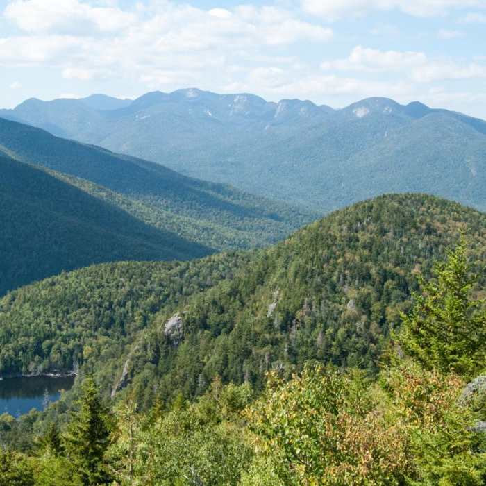
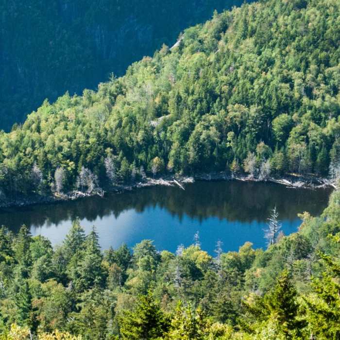
Begin at the Ridge Trail Trailhead on Route 73, directly across from Chapel Pond. Climb steeply for 0.5 miles to a junction; turn left to reach a viewpoint over the valley, or continue straight to the shores of the Washbowl at 0.7 miles. From the Washbowl, keep right at the intersection to continue ascending.
At 0.9 miles, pass a short spur trail on the left leading to the Nubble. Continue straight, climbing steeply up open bedrock ridges. At 1.9 miles, bypass the Roaring Brook Trail on the left, continuing straight.
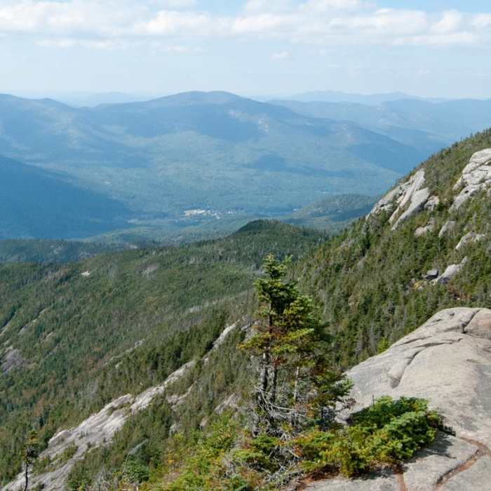
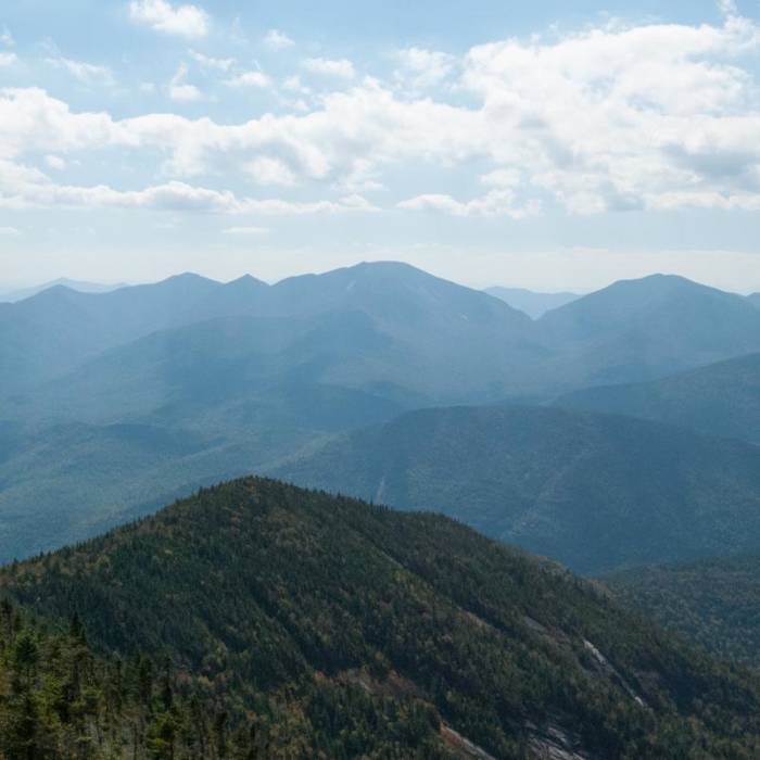
At 2.5 miles, turn right onto the East Trail, descending steeply into the col and losing approximately 800 vertical feet. Pass a faint spur trail to the left leading to East Slide Lookout, then climb 600 vertical feet over rocky slabs to reach the open summit of Rocky Peak Ridge at 3.5 miles.
Retrace your steps down the Ridge Trail to return to the trailhead.
No Condition Reports
Giant's Nubble Out and Back
Giant's Nubble Out and Back
Giant Mountain via Ridge Trail
Giant Mountain via Ridge Trail
Indian Head + Fishhawk Cliffs
Indian Head + Fishhawk Cliffs
Roaring Brook Falls
Roaring Brook Falls
Nippletop and Dial via Elk Pass
Nippletop and Dial via Elk Pass
Lower Wolfjaw Mountain
Lower Wolfjaw Mountain
Contributors

