

Near Monument Trail
The 220 foot tall High Point Monument was built in 1930 as war memorial, and marks the highest elevation in the state of New Jersey.
Near Monument Trail
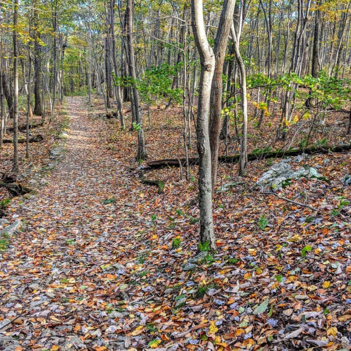
Monument Trail widens before descending alongside Cedar Swamp
Near Monument Trail
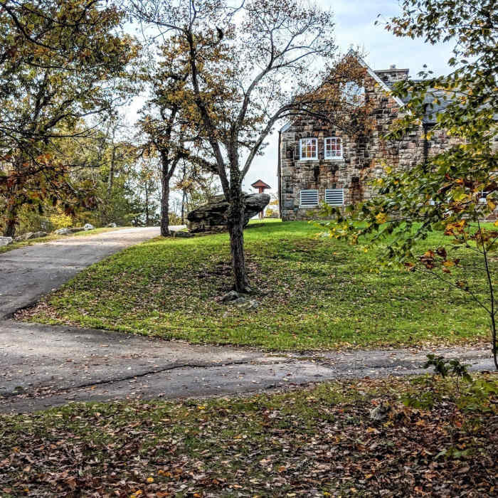
The Interpretive Center in High Point State Park, NJ
Near Monument Trail
Monument Trail meanders past the base of High Point Monument in Sussex, NJ.
Near Monument Trail
A brisk autumn morning on Monument Trail at the highest point in New Jersey.

Looking for more photos?

View All Photos
View Map
Driving Directions
Hike Route
Buy NowView in 3D

Monument Trail

3.6 (5 Ratings)
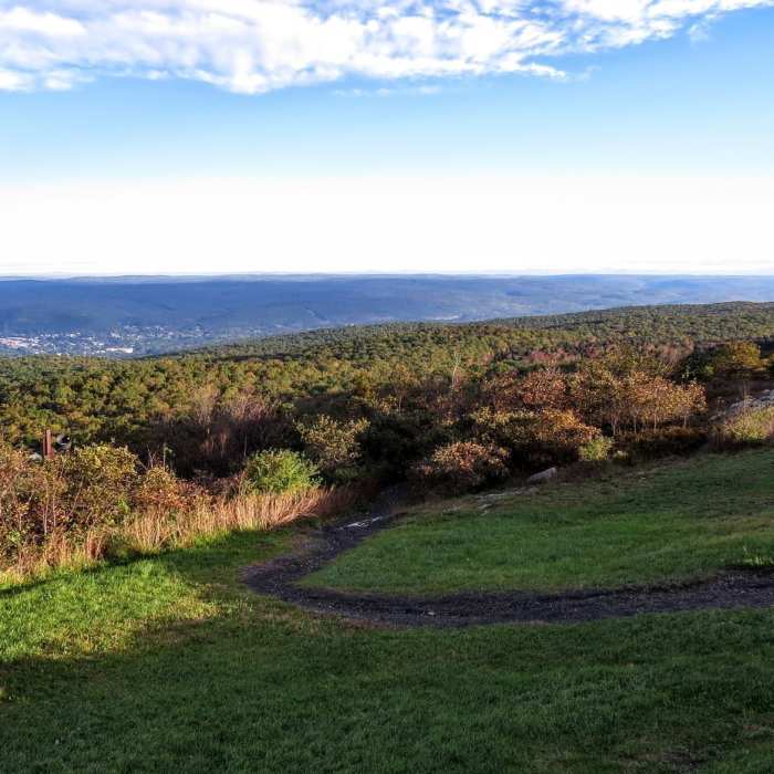
A short ridge loop past High Point Monument with views over farmland to the west and the Delaware River Valley toward Port Jervis and Matamoras to the east.
3.4
mi
Distance
489
ft
Gain
moderate
Difficulty
Dogs AllowedFall ColorsLakeSwimmingViews
Access Issues
A parking toll of $10 ($5 for New Jersey residents) applies during peak weekend hours. No toll applies on quieter days. The toll buys access to the swimming area with amenities and lifeguard and outdoor picnic area.

Route Details

Flatter
Steeper
3.39mi
Distance
489ft
Elevation Gain
489ft
Elevation Loss
30%
Max Grade
1,792ft
High Point
1,460ft
Low Point
Path Type
Loop
Description
This route starts and ends at the Monument parking lot in High Point State Park, covering about 3.3 miles as a loop with roughly 489 vertical feet of gain. From the lot, follow the green- and red-blazed Monument Trail north along a mountain ridge for about a mile, with views over rural farmland to the west. The trail then bends around the mountain, opening up bird's-eye views of Port Jervis and Matamoras, Pennsylvania, across the Delaware River Valley. After descending to the lower park parking area, follow the park's main road back uphill to the Monument parking lot to complete the loop. The trail is denoted by green and red blazes.

Route Conditions

Report Conditions
No Condition Reports
Report Conditions

Nearby Hike Routes

High Point Monument Trail

Classic Hike Route

High Point Monument Trail

Dogs Allowed
moderate
2.69 mi
+573 ft
High Point State Park Highlights

Hike Route

High Point State Park Highlights

Dogs Allowed
moderate
7.67 mi
+1,011 ft
Appalachian - Iris Trail Loop

Hike Route

Appalachian - Iris Trail Loop

Fall Colors
moderate
9.9 mi
+1,021 ft
Lenape Ridge Trail

Hike Route

Lenape Ridge Trail

Fall Colors
moderate
4.59 mi
+1,229 ft
Shawangunk Ridge Trail: Huckleberry Ridge Section

Hike Route

Shawangunk Ridge Trail: Huckleberry Ridge Section

Lake
easy
2.32 mi
+510 ft
Lenape Ridge Loop

Hike Route

Lenape Ridge Loop

Fall Colors
strenuous
7.7 mi
+1,429 ft
Contributors
onX Maps, Inc
