Ready to explore this trail?
View Trail Map in AppRegional Classic
A must do route for the area handpicked by local experts.
Lowenburg Road is an unsigned gravel seasonal road off Chazy Lake Road; check conditions before driving in. Lyon Mountain is in the Chazy Highlands Wild Forest.
Path Type
There and Back
This route starts at the Lowenburg Road parking area and ends at the same lot after reaching the Lyon Mountain fire tower.
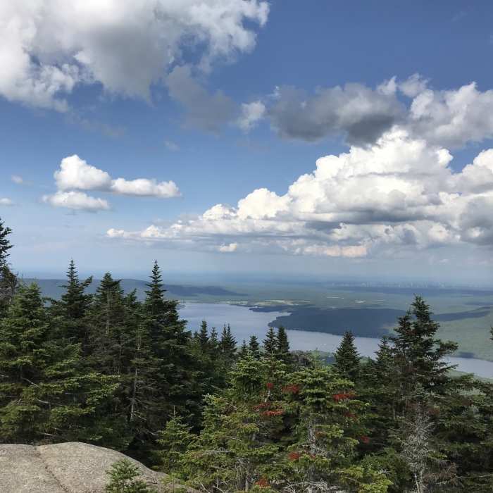
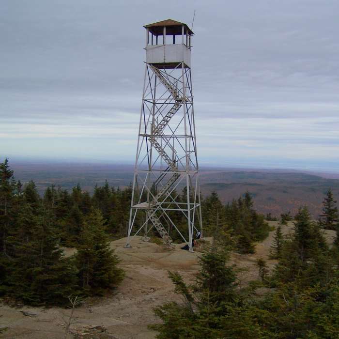
Follow the trail 0.2 miles to a split, where an arrow points left for the newer, more gradual trail; the older trail continues straight and is steeper and rockier. Climb the newer trail through mixed forest, crossing two bridges and zigzagging up the steepest sections on about 11 switchbacks. Near the top at around 3.0 miles the two trails rejoin; continue up a short, steep final pitch to the open summit and the steel fire tower. The route is about 7.0 miles round trip with roughly 2,000 vertical feet of gain.
Retrace your steps, using care on the steep upper section.
No Condition Reports
Averill Peak
Averill Peak
Catamount Mountain Trail
Catamount Mountain Trail
Esther Mountain
Esther Mountain
Whiteface Mountain via Wilmington
Whiteface Mountain via Wilmington
Stag Brook Trail
Stag Brook Trail
Wilmington Notch Falls
Wilmington Notch Falls
Contributors

