

Ready to explore this trail?
View Trail Map in AppRegional Classic
A must do route for the area handpicked by local experts.
No fees or permits are required for day hiking, but all visitors must sign in at the trailhead register. Because of high popularity, the parking area often fills early on summer and autumn weekends. Wilderness regulations apply within the High Peaks Wilderness.
Path Type
There and Back
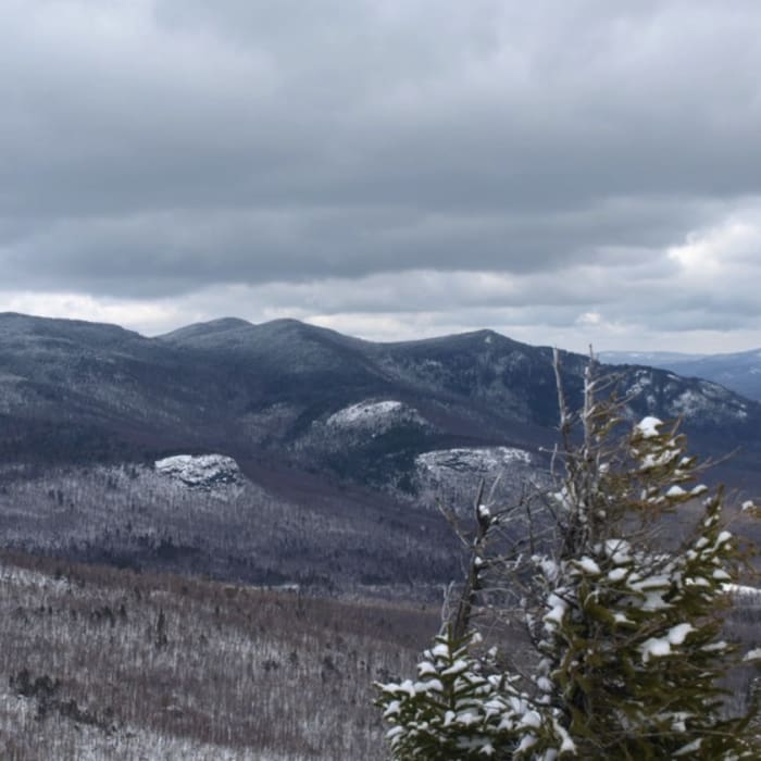
This route begins and ends at the Marble Mountain Trailhead near the Atmospheric Sciences Research Center, after reaching the summit of Esther Mountain.
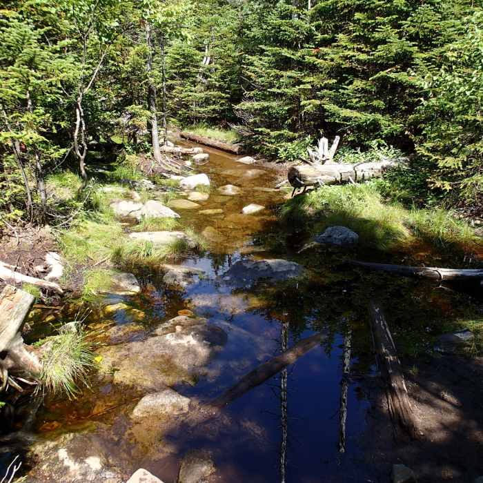
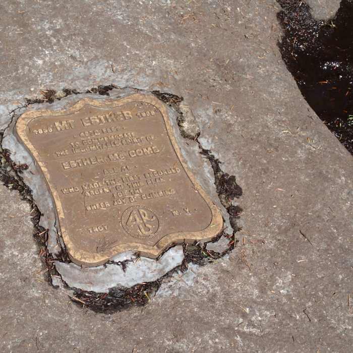
From the trailhead, start a brief descent towards White Brook, before beginning a steep, rocky ascent up Marble Mountain. At the summit of Marble Mountain, around 0.8 miles, turn right onto the Wilmington Trail. At 2.1 miles, reach the trail junction in the col between Lookout Mountain and Marble Mountain. Turn right onto the unmarked but highly visible Esther Mountain herd path. Follow this path north for 1.0 mile. This section features dense spruce-fir forest, frequent bogs, deep mud, and standing water. The route ends at the summit of Esther Mountain, which is marked by a commemorative bronze plaque on a boulder.
Retrace your steps to return to the trailhead.
No Condition Reports
Whiteface Mountain via Wilmington
Whiteface Mountain via Wilmington
Stag Brook Trail
Stag Brook Trail
Wilmington Notch Falls
Wilmington Notch Falls
Catamount Mountain Trail
Catamount Mountain Trail
Copperas Pond Trail
Copperas Pond Trail
Kilburn Mountain
Kilburn Mountain
Contributors

