Ready to explore this trail?
View Trail Map in AppRegional Classic
A must do route for the area handpicked by local experts.
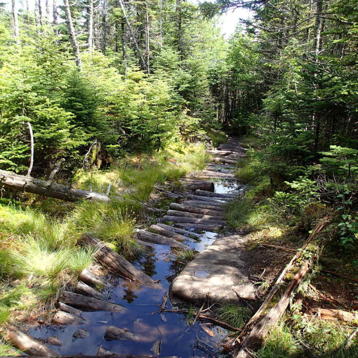
No permit or fee is required for the hiking trail. The route is managed by NYSDEC Region 5 within the Wilmington Wild Forest. The col between Marble Mountain and Whiteface’s upper cone is persistently wet and muddy regardless of recent precipitation. In winter, the exposed upper ridge and summit are subject to extreme wind and icy conditions; microspikes and adequate insulation are necessary above treeline.
Path Type
There and Back
This route begins and ends at the Wilmington Trailhead on Reservoir Road and after reaching the summit of Whiteface Mountain.
Start by heading west along the Whiteface Mountain Trail, following the trail as it curves to the southwest, around 0.6 miles. Continue climbing steadily through a northern hardwood forest. At 1.3 miles, turn right to stay on the Whiteface Mountain Trail. At 2.0 miles, reach the junction with the Marble Mountain Trail coming from the Atmospheric Sciences Research Center. Bear left at this junction to stay on the Wilmington Trail.
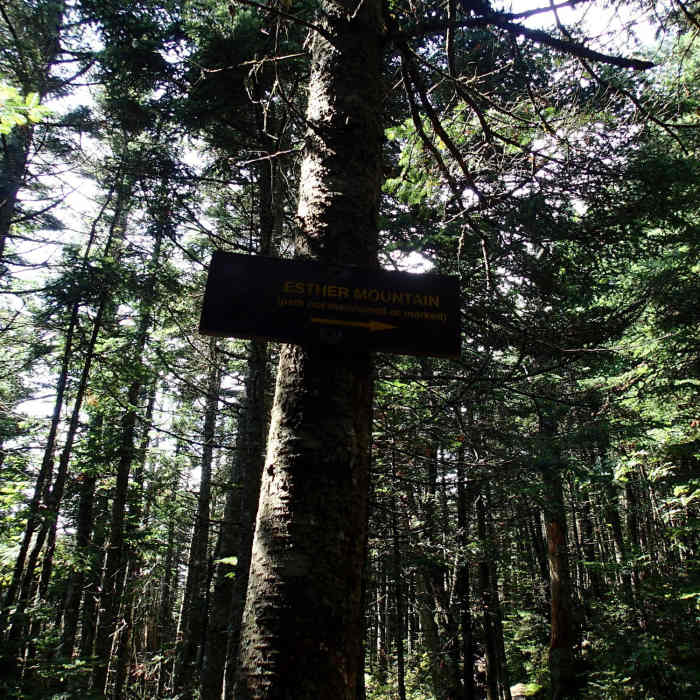
Continue climbing to the ridge. At 3.3 miles, reach the junction with the herd path to Esther Mountain, marked by a large cairn. Keep straight to continue toward Whiteface Mountain. Around 4.0 miles, pass the remnants of an old ski lift at approximately 4,000 feet of elevation. The climb becomes significantly steeper and rockier from this point forward.
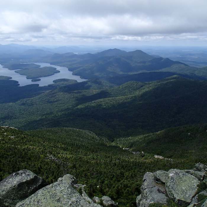
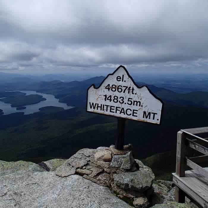
At 4.3 miles, the trail approaches the Wilmington Turn on the Whiteface Mountain Veterans Memorial Highway. The trail parallels the road without crossing it, emerging onto the long, highly exposed summit ridge. Climb the final rocky ridge to reach the 4,867-foot summit of Whiteface Mountain.
Retrace your steps to return to the trailhead.
No Condition Reports
Stag Brook Trail
Stag Brook Trail
Wilmington Notch Falls
Wilmington Notch Falls
Catamount Mountain Trail
Catamount Mountain Trail
Copperas Pond Trail
Copperas Pond Trail
Whiteface Landing
Whiteface Landing
Connery Pond
Connery Pond
Contributors

