Ready to explore this trail?
View Trail Map in AppPath Type
Point to Point
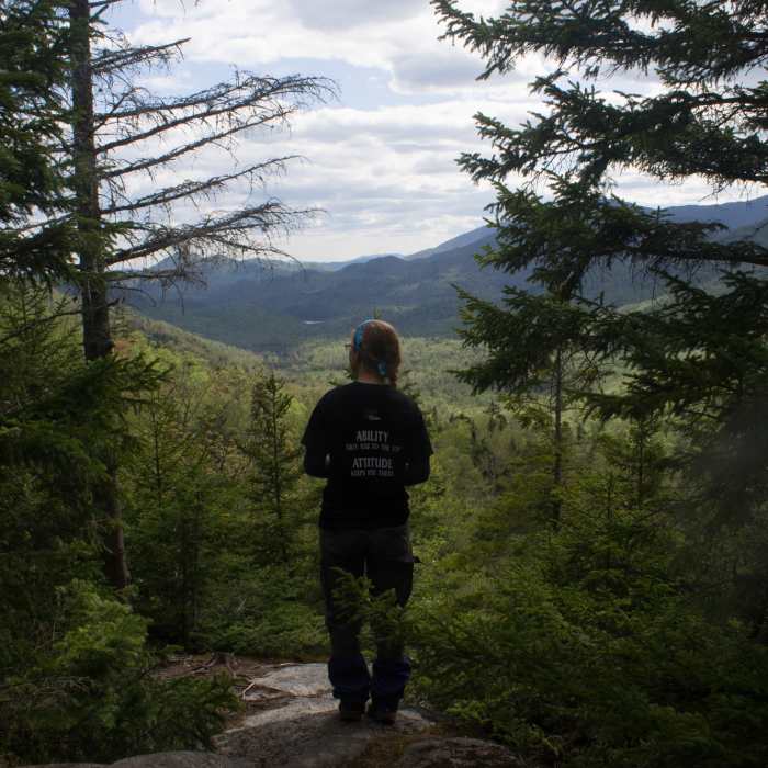
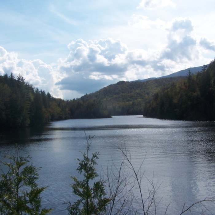
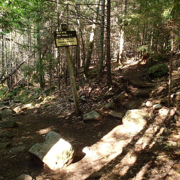
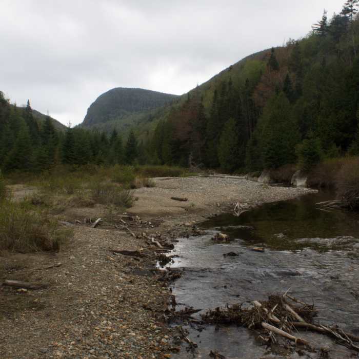
Start at the Adirondak Loj and follow the Indian Pass Trail around Heart Lake for 2 miles until Rocky Falls. Here you can take an off-shoot down the right to the falls for 0.2 miles or continue on Indian Pass Trail. For Rocky Falls, when you get to a Y in the trail around 2 miles in, take a right down to Indian Pass Brook. When you get to a sign for a lean-to, head left to the falls. The lean-to is on the opposite side of the brook behind the falls.From Rocky Falls, continue another 1.5 miles to Scott Clearing Lean-to. About 0.3 miles from this you should come to a sign that points right back to Scott and Wallface ponds or left to Indian Pass. Head left. You'll pass an old camping section on your right and, if you have time, go down a faint trail to the right following a stream to a clearing. In the distance, you can see the backside of Wallface.Getting back on the trail, follow a stream up a steep section and then turn right and follow a steep descent back to the brook. You'll rock hop along the brook and cross it twice. Next, follow a steep stream up to Indian Pass which is also very wet. This area includes some rock scrambling, and backpackers may want to take their packs off. This area is also where there can be snow into late spring. This section is only about 1 mile long but it is the most difficult. At the top, there should be a sign for the lookout. If you start heading downhill again you have gone too far.From here, take a steep downhill that involves ladders and some scrambling to a flat section. This part can get very muddy. Hike about 1.7 miles to Wallface on your right and then another 0.7 miles to an intersection. Head left for a steep climb and descent or go right by Henderson Lake for 1.5 miles to Upper Works Parking.
No Condition Reports
Rocky Falls
Rocky Falls
MacNaughton Mountain
MacNaughton Mountain
The MacIntyre Range Hike
The MacIntyre Range Hike
Algonquin Peak
Algonquin Peak
Mount Skylight
Mount Skylight
Iroquois Peak
Iroquois Peak
Contributors

