Ready to explore this trail?
View Trail Map in AppThere may be restrictions for Avalanche Pass Trail in winter.
Path Type
Loop
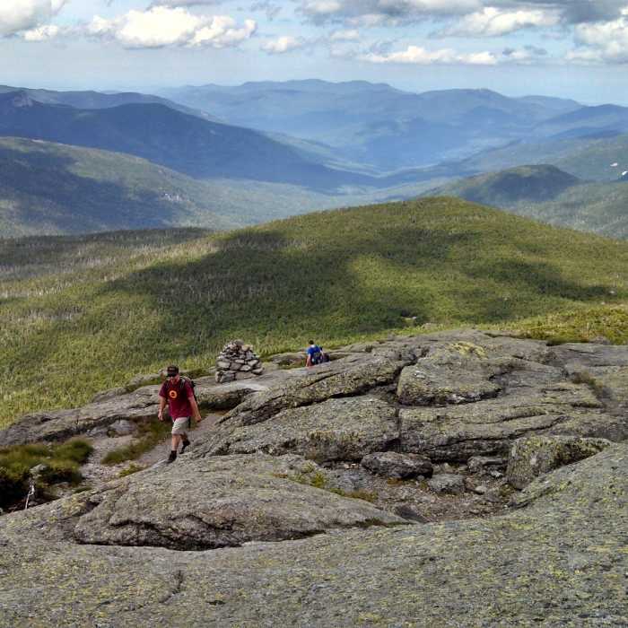
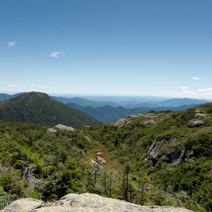
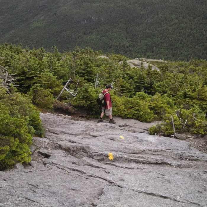
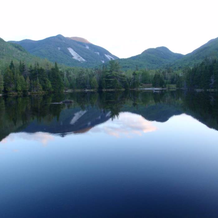
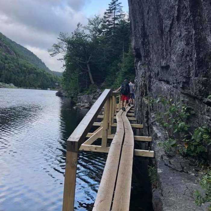
Starting at Marcy Dam, follow the Avalanche Pass Trail (also called Upper Works). At the south end of Lake Colden, take a left when you come across the Calamity Brook Trail/Mount Marcy Trail (I've seen it called both - if you followed the map above and traveled on the west side of Lake Colden (passing by the NYS DEC Lake Colden Interior Outpost) you should almost immediately cross a dam. Can also take the Avalanche Lake to Lake Colden Trail, which takes you on the east side of Lake Colden). Continue on Calamity Brook Trail/Mount Marcy Trail until you reach Gray Peak Trail. This is a relatively steep ascent. Follow that to the summit, then return to Calamity Brook Trail/Mount Marcy Trail. Continue heading east on the trail until you reach the Four Corners. At the Four Corners, follow the trail leading south to Mount Skylight Trail. This is a relatively steep ascent. Follow that trail back down to the Four Corners, where you'll take the trail heading north to reach Mount Marcy. This is a steep ascent, and caution should be taken. From the summit of Mount Marcy, take the Van Hoevenberg Trail back to Marcy Dam. Van Hoevenberg trail is long, but a relatively moderate incline for most of it. Due to the max grade, I rated this as an extremely difficult hike, however, large portions of it are very manageable. Would not recommend as your first 46er route, and, as always, come prepared.
No Condition Reports
Mount Marcy via Van Hoevenberg Trail
Mount Marcy via Van Hoevenberg Trail
Mount Marcy, Mount Skylight + Gray Peak Loop
Mount Marcy, Mount Skylight + Gray Peak Loop
Mount Redfield
Mount Redfield
Cliff Mountain
Cliff Mountain
Gray Peak
Gray Peak
Mount Colden via Lake Arnold
Mount Colden via Lake Arnold
Contributors

