
Ready to explore this trail?
View Trail Map in AppRegional Classic
A must do route for the area handpicked by local experts.
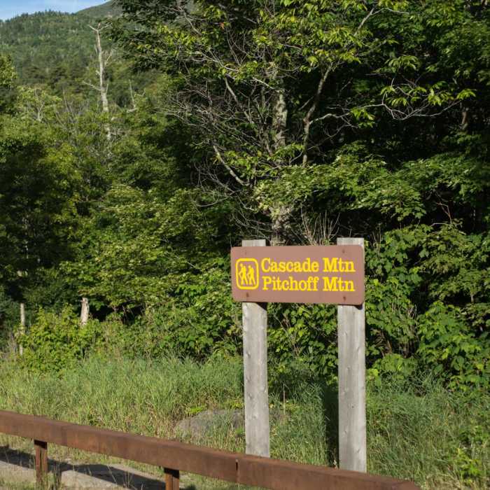
No permit is required. The lot on NY 73 fills early in summer; overflow may require a road walk of several hundred yards to the trail.
Path Type
There and Back
The route begins and ends at Cascade Trailhead and reaches the summits of Porter Mountain (4,059') and Cascade Mountain (4,098'), about 5.5 miles round trip.
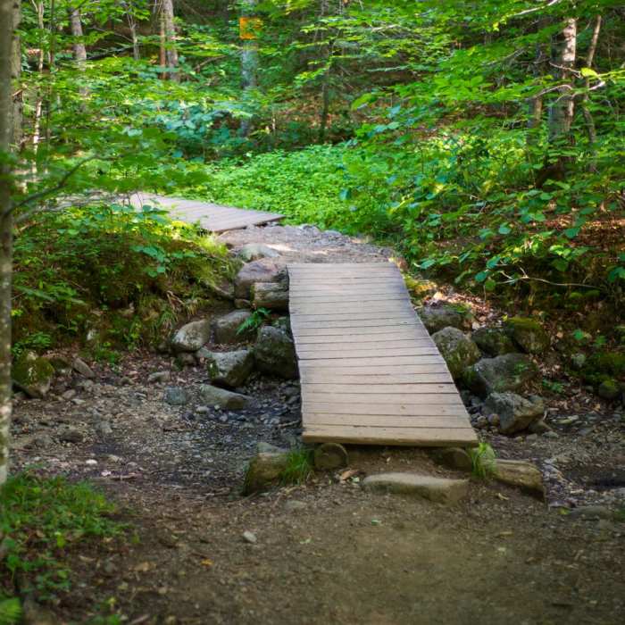
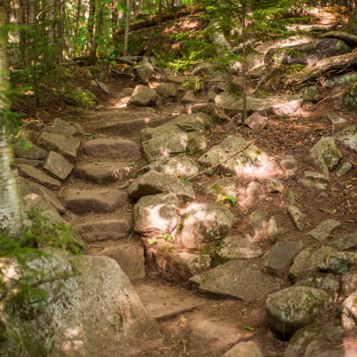
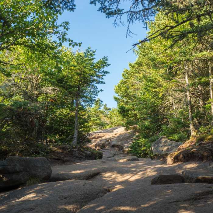
From the register, follow the moderate trail to a stream near 0.3 miles, then climb steeply over rocky terrain to a ridge near 1.1 miles. At the Y junction near 2 miles, turn right toward Porter. Drop and climb 0.5 mile over rocky tread to its rock summit. Return to the junction and take the other branch toward Cascade. Cross rock slabs, climb a ladder, and follow yellow blazes and cairns across open bare rock to Cascade's summit, about 0.3 mile from the junction.
Descend the same way. The slabs are slippery when wet, and Cascade's summit is exposed to wind. Cascade is very busy in summer. In winter, snowshoes are required and microspikes help on the ridge and summit.
No Condition Reports
Porter Mountain
Porter Mountain
Pitchoff Mountain + Balanced Rocks
Pitchoff Mountain + Balanced Rocks
Mount Colden via the Trap Dyke
Mount Colden via the Trap Dyke
Haystack, Basin + Saddleback Mountain Lasso Loop
Haystack, Basin + Saddleback Mountain Lasso Loop
Big Slide Via The Brothers
Big Slide Via The Brothers
Mount Haystack
Mount Haystack
Contributors

