


Ready to explore this trail?
View Trail Map in AppRegional Classic
A must do route for the area handpicked by local experts.
No permit is required for day hikes. Parking at the NY Route 73 trailhead is extremely limited, and roadside parking outside of designated areas is strictly prohibited and enforced.
Path Type
There and Back
The route begins and ends at the Cascade Trailhead off NY Route 73, after reaching the summit of Cascade Mountain.
From the trailhead, follow the red-blazed trail as it immediately begins a steady climb through a hardwood forest, gaining roughly 1,200 vertical feet over the first 1.9 miles.
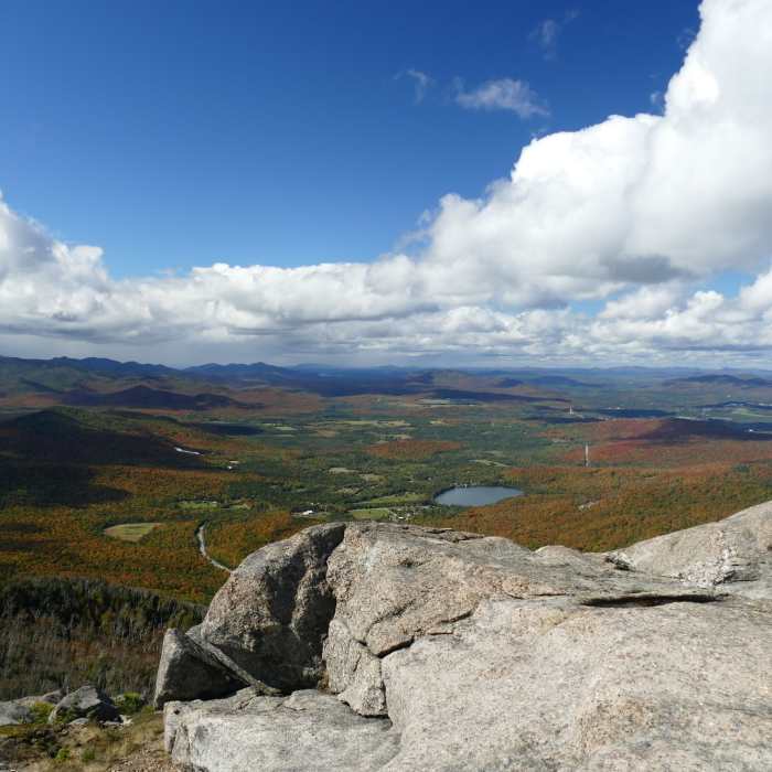
At 1.9 miles, reach the trail junction; turn left to continue toward Cascade Mountain, while the trail to the right leads to Porter Mountain. From the junction, climb the remaining 0.3 miles, passing over increasingly rocky terrain and steep ledges. Follow the painted yellow blazes and cairns to navigate the final scramble up the open, windy summit.
Retrace your steps to return to the trailhead.
No Condition Reports
Cascade + Porter Mountains
Cascade + Porter Mountains
Porter Mountain
Porter Mountain
Pitchoff Mountain + Balanced Rocks
Pitchoff Mountain + Balanced Rocks
Mount Colden via the Trap Dyke
Mount Colden via the Trap Dyke
Haystack, Basin + Saddleback Mountain Lasso Loop
Haystack, Basin + Saddleback Mountain Lasso Loop
Big Slide via The Brothers
Big Slide via The Brothers
Contributors

