Ready to explore this trail?
View Trail Map in AppRegional Classic
A must do route for the area handpicked by local experts.
No permit required. Parking is a small, informal roadside pulloff on Route 171 with no signage; arrive early on weekends.
Path Type
There and Back
This route starts and ends at an unmarked pulloff on NH Route 171 in Tuftonboro, near the bridge over Fields Brook, and reaches Mount Shaw's summit, the highest point in the Ossipee Range.
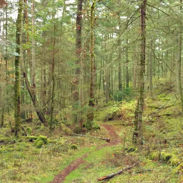
From the pulloff, the Mount Shaw Trail follows an old logging or carriage road alongside Fields Brook, crossing the brook on a few easy fords and passing a small waterfall at 0.7 miles, before picking up red paint blazes that can be faint and easy to lose amid the old woods roads higher up.
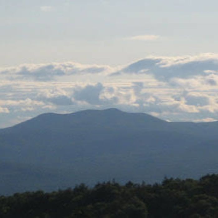
The trail climbs steadily through hardwood forest to a junction with the Black Snout Trail and the wider trail network below the summit ridge at around 2.4 miles. From here, bear right following the Black Snout Trail, passing the Black Snout summit spur on the right at 2.6 miles. Continue to Mount Shaw's ledgy, partly wooded summit, with views north to the White Mountains and south over Lake Winnipesaukee.
The full round trip covers approximately 6.7 miles with about 2,300 feet, depending on whether nearby Black Snout Mountain is also tagged along the way.
Retrace the same route back to the Route 171 pulloff.
No Condition Reports
Mount Shaw, Black Snout, Big Ball, and Little Ball Loop
Mount Shaw, Black Snout, Big Ball, and Little Ball Loop
Mount Shaw via Turtleback Mountain Trail
Mount Shaw via Turtleback Mountain Trail
Mount Roberts
Mount Roberts
Red Hill Fire Tower via Red Hill + Cabin Trails
Red Hill Fire Tower via Red Hill + Cabin Trails
Belknap Range Trail
Belknap Range Trail
Contributors

