Ready to explore this trail?
View Trail Map in AppNo permit required. Same Mountain Road parking area on Route 171 as the Mount Shaw via Mount Shaw Trail route, with room for about eight vehicles; arrive early on weekends. Trail markings can be sparse and hard to follow, especially under fall leaf cover — carry a map or GPS app.
Path Type
Loop
This route starts and ends at the Mountain Road parking area on Route 171 — the same trailhead used by the Mount Shaw via Mount Shaw Trail route — and links four summits into a single loop.
From the trailhead, the Mount Shaw Trail climbs through hardwood forest, gaining roughly 2,300 feet over the first 3 miles or so as the woods thin out toward the range's higher terrain.
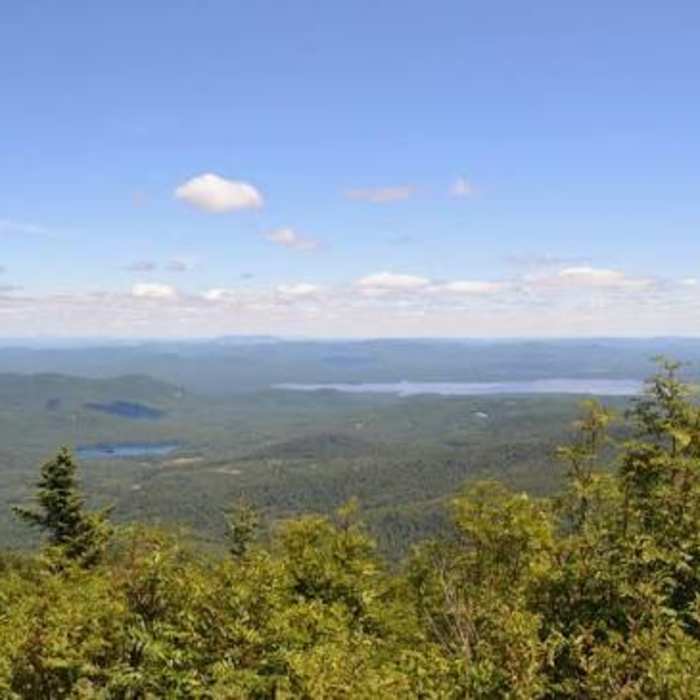
At the first major fork at around 2.5 miles, bear right onto the Black Snout Trail, which continues toward Mount Shaw and steepens noticeably before topping out on Mount Shaw's open, ledgy summit — the loop's high point at 2,990 feet, around 3.3 miles in, with views stretching to the White Mountains and into Maine.
The trail then drops back down the ridge and climbs again over the next mile or so to Black Snout (2,803 ft), reached around mile 4.3, where the outlook shifts south toward Lake Winnipesaukee and the Belknap Range. Past Black Snout's broad, open top, the Black Snout Trail feeds into the Big Ball Mountain Trail for a rolling stretch of ridgeline with a few short, steep pitches — trip reports note this section can get icy or hard to follow when leaves cover the ground — reaching Big Ball Mountain's ledgy top (2,034 ft) around mile 5.3.
A short spur just beyond it leads down to Little Ball Mountain (1,706 ft), around mile 5.8, for one last set of open views before doubling back to the main trail.
From there, the Italian Trail carries the route west, rejoining the the Mount Shaw Trail at around 7.2 miles and closing the loop at the Mountain Road trailhead.
Expect a long, demanding day with sustained climbing, loose rock underfoot in spots, and long stretches of exposed ridge — better suited to hikers with some backcountry navigation experience.
No Condition Reports
Mount Shaw via Mount Shaw Trail
Mount Shaw via Mount Shaw Trail
Mount Shaw via Turtleback Mountain Trail
Mount Shaw via Turtleback Mountain Trail
Mount Roberts
Mount Roberts
Red Hill Fire Tower via Red Hill + Cabin Trails
Red Hill Fire Tower via Red Hill + Cabin Trails
Belknap Range Trail
Belknap Range Trail
Contributors

