


Ready to explore this trail?
View Trail Map in AppPath Type
There and Back
The hike begins at the Castle in the Clouds property near the Upper Trailhead Kiosk. From the parking area, follow the path toward Shannon Pond and veer left at the fork toward the barn. Continue past the barn toward the corner of the fenced-in field at the edge of the woods to locate the Mount Roberts Trail trailhead.
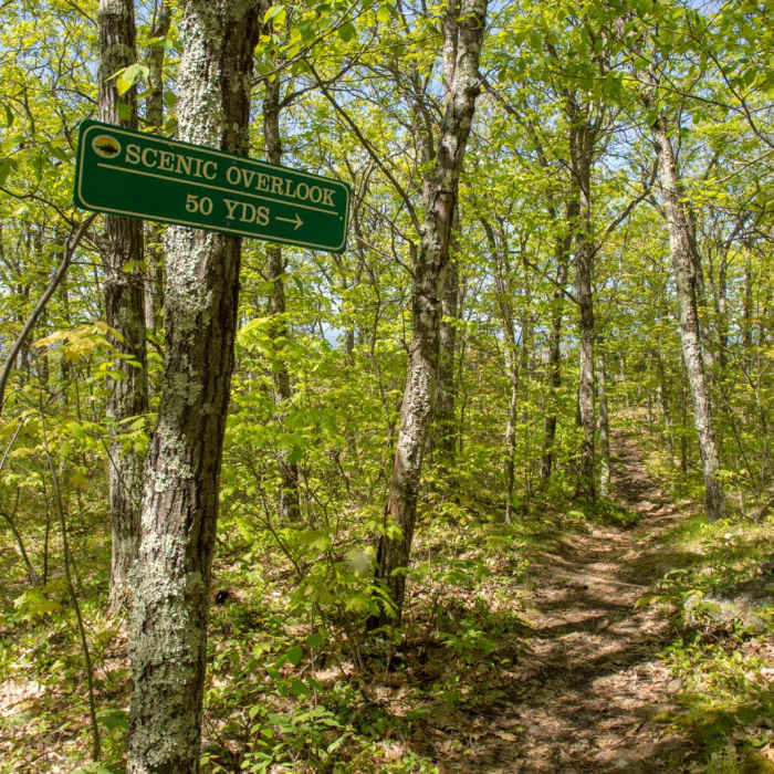
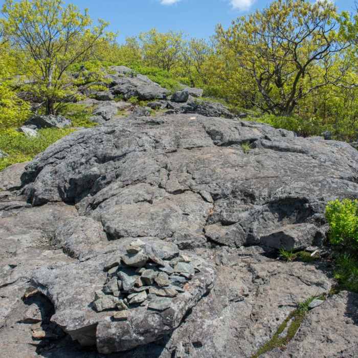
The initial section of the trail is wide and well-graded as it ascends Roberts Ridge. At approximately one mile, a short 50-yard spur trail leads to an overlook. Beyond this point, the trail climbs more steadily, traversing open ledges that offer panoramic views of Lake Winnipesaukee and the surrounding hills.
As the trail nears the summit, it re-enters the forest canopy. The 2,582-foot summit is marked by a large stone cairn and a wooden sign. Limited views to the north toward the White Mountain National Forest are visible through the trees at the top. The descent follows the same route back to the trailhead.
No Condition Reports
Mount Shaw via Turtleback Mountain Trail
Mount Shaw via Turtleback Mountain Trail
Mount Shaw, Black Snout, Big Ball, and Little Ball Loop
Mount Shaw, Black Snout, Big Ball, and Little Ball Loop
Mount Shaw via Mount Shaw Trail
Mount Shaw via Mount Shaw Trail
Red Hill Fire Tower via Red Hill + Cabin Trails
Red Hill Fire Tower via Red Hill + Cabin Trails
Rattlesnake
Rattlesnake
Squam Range Extended Loop Hike via Crawford Ridgepole Trail
Squam Range Extended Loop Hike via Crawford Ridgepole Trail
Contributors

