Ready to explore this trail?
View Trail Map in AppRegional Classic
A must do route for the area handpicked by local experts.
No permit or fee is required. Queen Canyon Road requires a high-clearance, four-wheel-drive vehicle for the final miles, including an overgrown creek-bed section and deep water-runoff ruts.
Path Type
There and Back
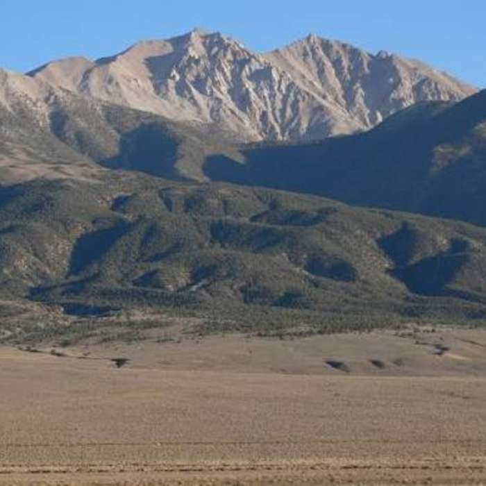
This route starts and ends at the Queen Canyon Trailhead off Queen Canyon Road and reaches the summit of Boundary Peak (13,147'), the highest point in Nevada, for a round trip of about 7.8 miles.
From the trailhead, a road-like track climbs to the right, passing a sign-in register. Switchback up about 1,000 vertical feet over roughly a mile to a ridgeline with the first views of Boundary Peak. Continue about a mile along the ridge, with a slight descent, to a second saddle at the base of the mountain.
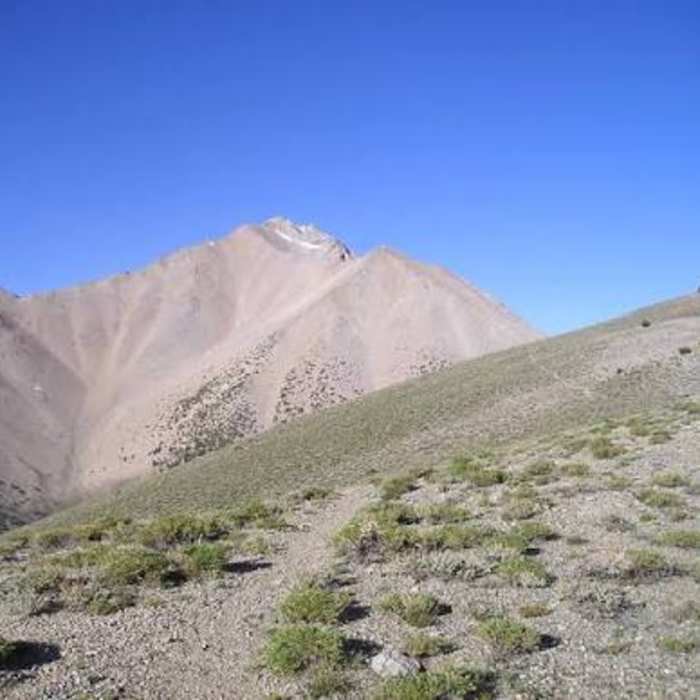
This saddle marks the route's crux: from here, the trail becomes faint and undefined, crossing a further saddle before a steep, sustained climb over loose scree and talus, gaining the final 1,300 vertical feet to the summit. Footing is unstable throughout, with some sections prone to small rockslides underfoot.
Return by retracing the same ridge and scree, which is at least as demanding heading down as it was climbing up.
No Condition Reports
Boundary Peak East Ridge
Boundary Peak East Ridge
The Sump
The Sump
Champion Spark Plug Mine
Champion Spark Plug Mine
White Mountain Peak - West Ridge
White Mountain Peak - West Ridge
Glass Mountain Route
Glass Mountain Route
White Mountain Peak
White Mountain Peak
Contributors

