Ready to explore this trail?
View Trail Map in AppNo permit is required for day hikes, but overnight stays require an Inyo National Forest wilderness permit.
Path Type
There and Back
The route begins and ends at the West Ridge Trailhead, 2.5 miles up White Mountain Ranch Road, after reaching the summit of White Mountain Peak from the rugged west ridge.
From the trailhead, follow the trail for 1.0 mile. The trail quickly fades into a rugged cross-country route from here. Continue to the northeast, and begin climbing over a bulge. At 2.5 miles, enter the trees. At 3.2 miles, the trees thin out and the terrain becomes steep. Climb approximately 2,000 vertical feet within 0.9 miles to gain the prominent West Ridge.
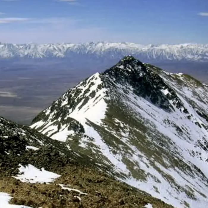
Follow the ridge crest east. There are no official trail markings, and route-finding is required over loose talus and scree. Keep to the ridge line, beginning another steep scree climb around 4.8 miles. Climb approximately 1,800 vertical feet over 1.0 mile to a false summit at 13,200' Traverse the saddle before beginning another scramble around 6.2 miles. Navigate a steep, loose scree slope to reach a notch around 6.6 miles.
Crux: Beyond 13,200' to the notch, a broken Class 3 ridgeline requires scrambling over and around gendarmes; staying on or near the ridgetop avoids committing traverses on the steep flanking slopes below.
Scramble the final rocky section to the summit weather station at 6.8 miles.
On the descent, retrace your steps along the ridge. Exercise extreme caution on the steep scree slopes, as loose rock makes footing unstable and it is easy to stray into dangerous, cliff-banded side drainages.
No Condition Reports
Champion Spark Plug Mine
Champion Spark Plug Mine
White Mountain Peak
White Mountain Peak
Bishop Creek Canal (North Fork)
Bishop Creek Canal (North Fork)
Pleasant Valley Gorge
Pleasant Valley Gorge
Lower Rock Creek Trail
Lower Rock Creek Trail
Bishop Canal Loop
Bishop Canal Loop
Contributors

